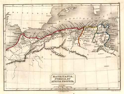
Mauritania, Numidia, et Africa Propria (Ancient North Africa)
Out of stock
This beautiful antique map of ancient North Africa was issued in the Atlas of Ancient Geography, by Samuel Butler, in 1827. This original hand colored map also details different regions, mountain ranges, rivers, and cities and towns. This is a great antique map full of ancient history and geography.
Size: 9.5 x 7.25 inches
Condition: Very Good
Map Maker: Samuel Butler
Coloring: Original Hand Color
Year: 1827
Condition: Very Good
Map Maker: Samuel Butler
Coloring: Original Hand Color
Year: 1827
Out of stock


