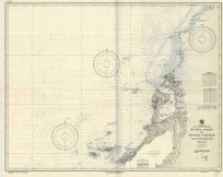
West India Islands – Martinico, Dominica
Out of stock
This map of islands in the West Indies was made by Thomson in 1815. Martinico and Dominica are shown on this map. An inset shows Cul de Sac Royal. Details include the names of islands and important cities, rivers, and lakes. This map is in excellent condition.
Size: 23 x 19.5 inches
Condition: Very Good - age toning, light foxing
Map Maker: John Thomson
Coloring: Original Hand Color
Year: 1815
Condition: Very Good - age toning, light foxing
Map Maker: John Thomson
Coloring: Original Hand Color
Year: 1815
Out of stock


