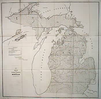
Sketch of the Public Surveys in Michigan
In stock
Shows major rivers, all of Lake Michigan and parts of State and National Boundary lines in Lake Superior. Inset of Isle Royale. Sault Ste. Marie labelled on Canadian side and misspelled. Reserve on Manestee River.
Size: 22 x 21.5 inches
Condition: Very Good
Map Maker: General Land Office
Coloring: Black & White
Year: 1852
Condition: Very Good
Map Maker: General Land Office
Coloring: Black & White
Year: 1852
In stock


