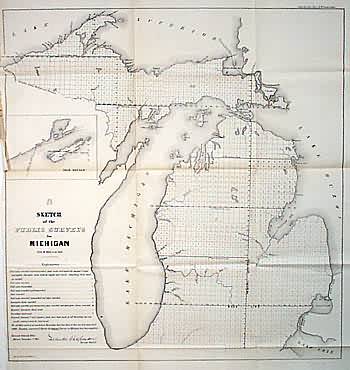
Sketch of the Public Surveys in Michigan
In stock
Basic GLO map with no towns marked. Part of National Boundary shown in Lake Superior. Shows all of Lake Michigan and inset of Isle Royale.
Size: 20 x 21 inches
Condition: Very Good, left margin originally trimmed close
Map Maker: General Land Office
Coloring: Black & White
Year: 1855
Condition: Very Good, left margin originally trimmed close
Map Maker: General Land Office
Coloring: Black & White
Year: 1855
In stock


