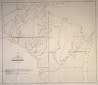
Sketch of The Public Surveys in Wisconsin
In stock
Large unsurveyed region marked Menomonie Indians. Also shows Oneida reserve. Survey grid has reached Lake Superior along 4th principal meridian.
Size: 20 x 17.5 inches
Condition: Very Good
Map Maker: General Land Office
Coloring: Black & White
Year: 1848
Condition: Very Good
Map Maker: General Land Office
Coloring: Black & White
Year: 1848
In stock


