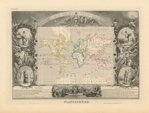
PLANISPHERE
Out of stock
This Highly detailed map of the Department and French possessions, by Victor Levasseur, is surrounded with vignettes that highlight the commerce, history, and character of the department. These vignettes compliment the wonderful geographic information of each map. Even if one has no connection with the geography, the beauty of the map draws you in. Published in the mid 19th century, this map represents the apex and beginning of the unfortunate decline of decorative map-making.
Size: 16 x 12 inches
Condition: Very Good
Map Maker: Victor Levasseur
Coloring: Full Hand Color
Year: 1859
Condition: Very Good
Map Maker: Victor Levasseur
Coloring: Full Hand Color
Year: 1859
Out of stock


