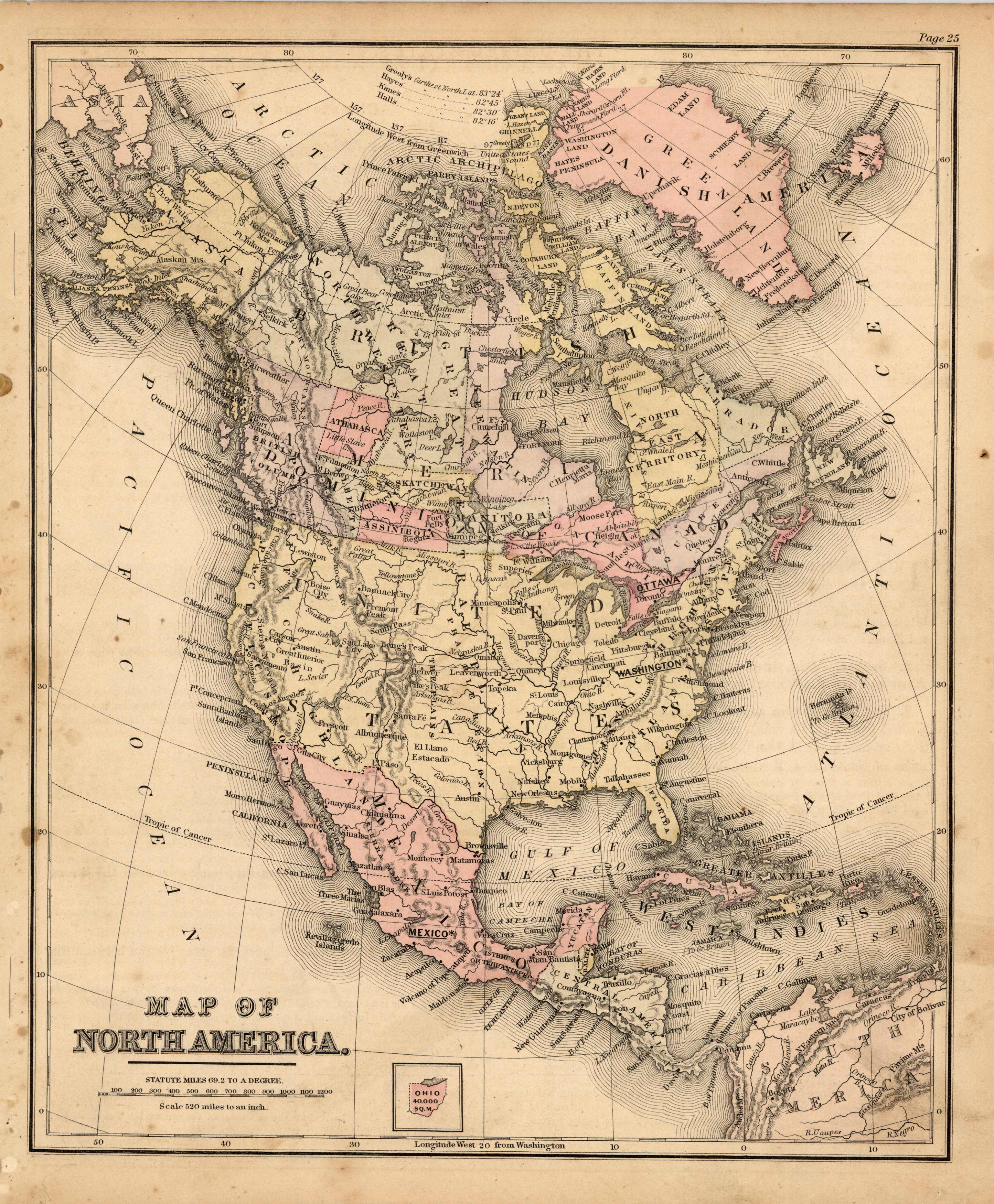
Map of North America
In stock
This map is from Warrens Common-School Geography, printed in 1887. North America is illustrated on this map. Details include the names of countries and important cities, major lakes, and rivers. The coast of Antarctica is just beginning to be mapped at this time and the names of explorers and their progress into the land is given.
Size: 8.75 x 10.75 inches
Condition: Very Good
Map Maker: Warren
Coloring: Original Hand Coloring
Year: 1887
Condition: Very Good
Map Maker: Warren
Coloring: Original Hand Coloring
Year: 1887
In stock


