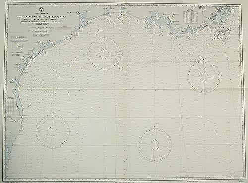
West Coast of Lower California Cedros Island to Abreojos Point
In stock
This coastal survey was stamped as completed on March 1944 by the U.S. Hydrographic department in Washington D.C. The West Coast of Lower California , Cedros Island to Abreojos Point is represented on this map. Cities, bays, ports, points, dry lagoons, and harbors are noted. Land conditions along the shore line are illustrated.
Size: 39.5 x 29.5 inches
Condition: Excellent
Map Maker: U.S Hydrographic Office
Coloring: Machine Color Black and White
Year: 1944
Condition: Excellent
Map Maker: U.S Hydrographic Office
Coloring: Machine Color Black and White
Year: 1944
In stock


