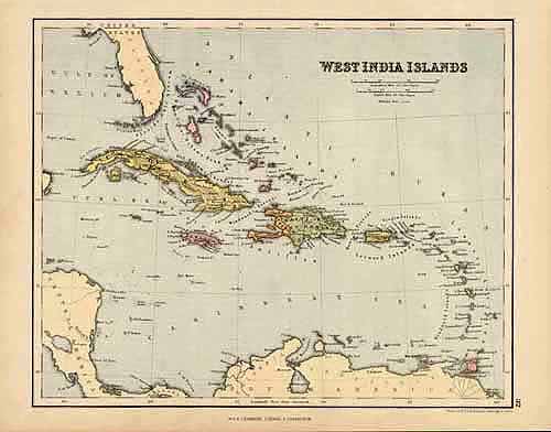
West India Islands
In stock
William and Robert Chambers produced this map for their “Atlas of Modern and Ancient Geography” in 1888. This pleasantly colored map of the West India Islands shows prominant towns, rivers, regions, and mountains ranges. A wonderful addition to any collection.
Size: 10.5 x 8.5 inches
Condition: Very Good
Map Maker: William and Robert Chambers
Coloring: Printed Color
Year: 1888
Condition: Very Good
Map Maker: William and Robert Chambers
Coloring: Printed Color
Year: 1888
In stock


