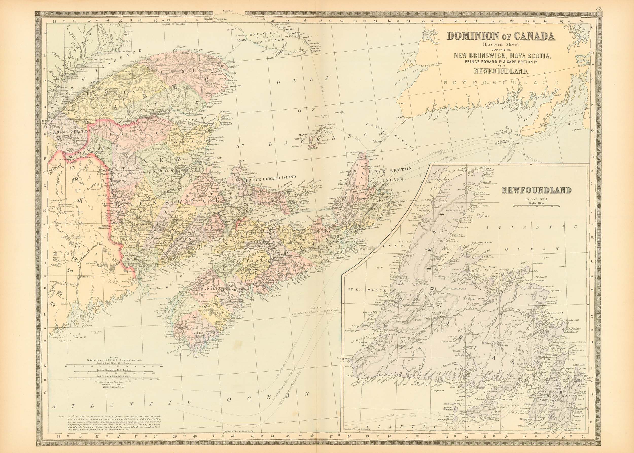
Dominion of Canada (Eastern Sheet)
In stock
This beautiful, hand colored, steel plate engraved map of the eastern part of Canada was made by William Bradley & Bros. in 1889. Pastel color distinguishes regions on this very detailed map from the hard to find map-maker. Countries, states, important cities, rivers, lakes, and mountain ranges are identified on the map. Newfoundland is shown in an inset at a greater scale than the main map.
Size: 23 x 17.75 inches
Condition: Very Good-small split at edge of fold
Map Maker: William Bradley & Bros.
Coloring: Original Hand Color
Year: 1889
Condition: Very Good-small split at edge of fold
Map Maker: William Bradley & Bros.
Coloring: Original Hand Color
Year: 1889
In stock


