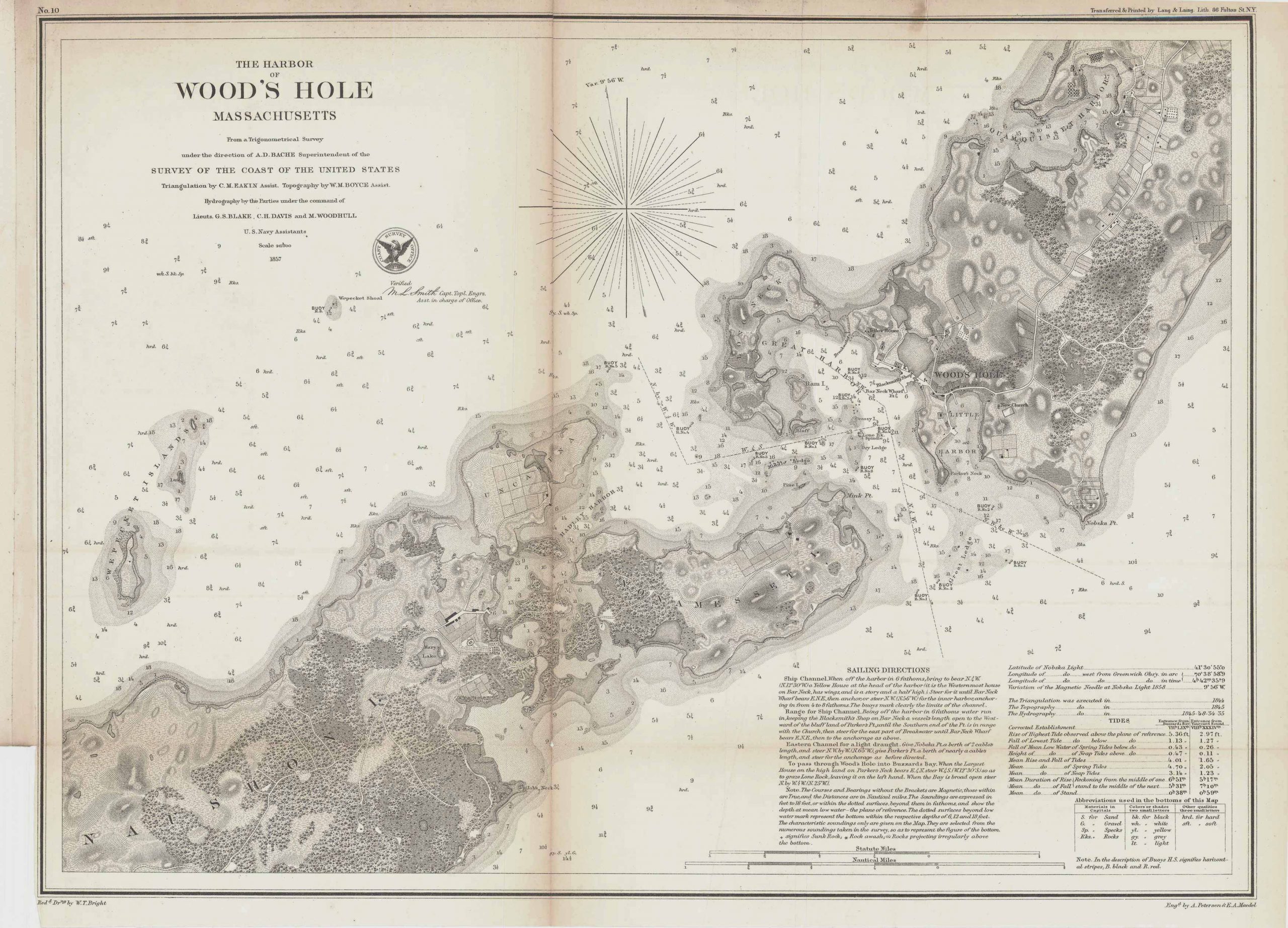
The Harbor of Woods Hole Massachusetts’
In stock
This 1857 nautical chart of Woods Hole in Massachusetts provides information on bottoms, soundings, tides, and also contains sailing directions for the area. The chart extends as far south as Naushon Island, as far north as Quamquisset Harbor, as far west as Wepecket Island, and as far east as Wood’s Hole. Some topographic detail is shown; the map also shows lakes, harbors, a church, a yellow house, a blacksmith shop, and more. Nobska Lighthouse, although not labeled this name on the map, is shown beneath present-day Falmouth Heights near what was called Nobska Point. Currently, Nobska Point sits near Uncatena Island. Present-day Ram Island, Grassy Island, Pine Island and Little Harbor are labeled. What’s called Bluff Island is now Devil’s Foot Island. While Uncatena Island is identified, Bull Island, Goat’s Neck, Monohansett Island, and Cedar Island are not.
Condition: Good, some archival repairs along folds
Map Maker: U.S. Coast Survey Office
Coloring: Black and White
Year: 1857
In stock


