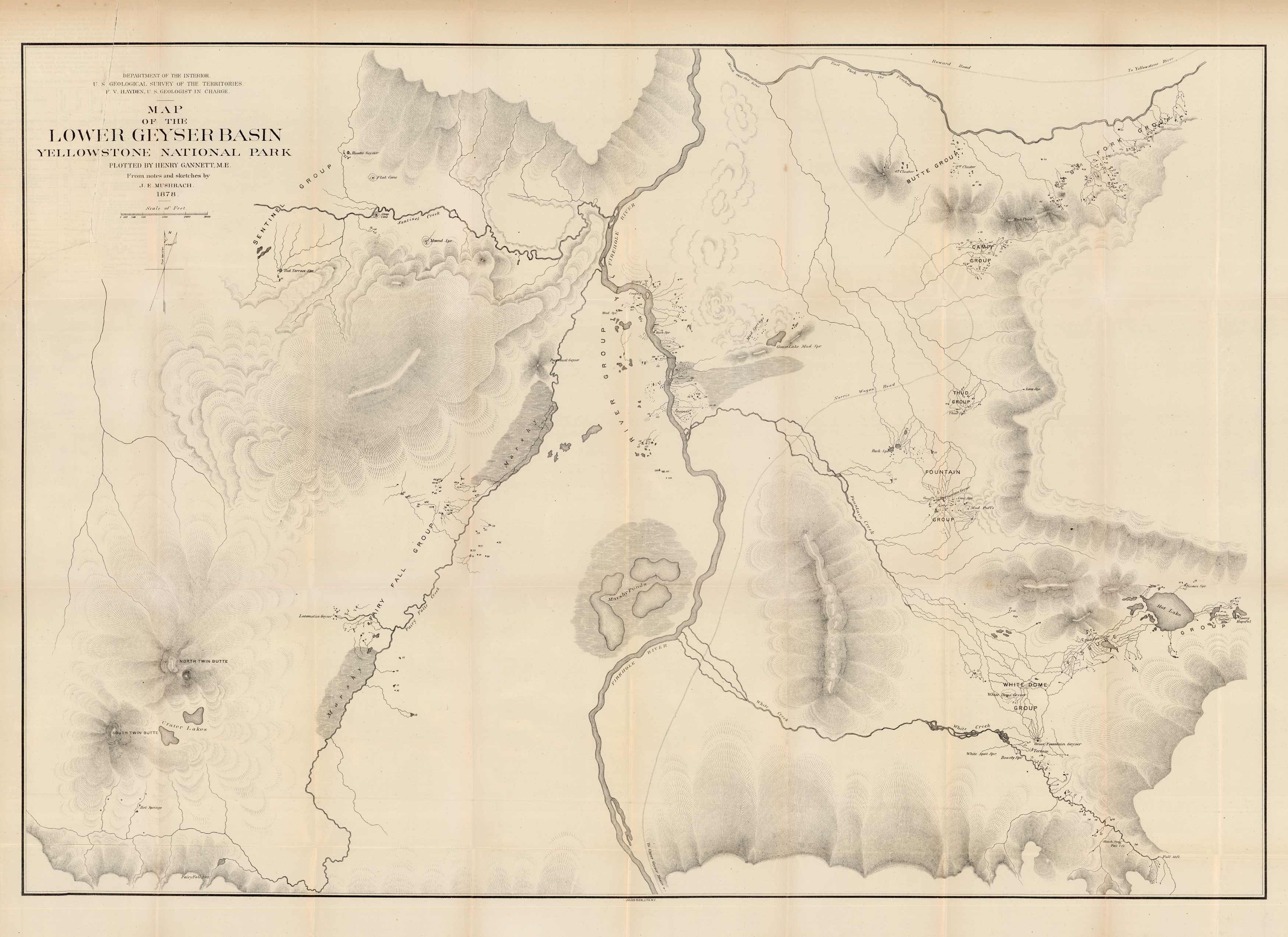
Map of the Lower Geyser Basin. Yellowstone National Park. Plotted by Henry Gannett, M.E. From notes and sketches by J.E. Mushbach. 1878
In stock
We are especially pleased to offer this map of Yellowstone National Park, showing the Lower Geyser Basin. It was originally issued as part of the Twelfth Annual Report of the United States Geological and Geographical Survey of the Territories. Maps issued in this report show the progress of exploration in Wyoming, Montana, and Idaho for the year 1878, and have become exceedingly hard to find in recent years.
Size: 34.75 x 24 inches
Condition: Good, archival repairs along folds and light age toning
Map Maker: U.S. Geological Survey of the Territories, F.V. Hayden in charge
Coloring: Black and White
Year: 1878
Condition: Good, archival repairs along folds and light age toning
Map Maker: U.S. Geological Survey of the Territories, F.V. Hayden in charge
Coloring: Black and White
Year: 1878
In stock


