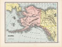
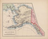
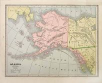
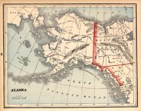
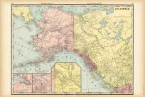
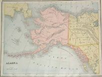
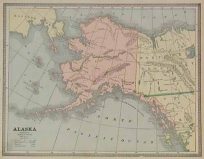
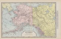
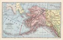
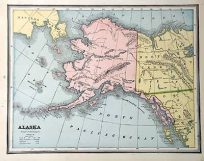
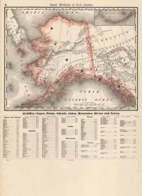
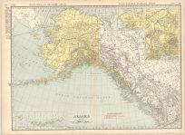
Vintage Antique Alaska Maps
Art Source International has amassed a collection of authentic antique maps and images brilliantly highlighting and detailing the state of Alaska which borders British Columbia, Canada and shares a maritime border with the Russian Federation’s Chukotka Autonomous Okrug to the west, just across the Bering Strait. To the north are the Chukchi and Beaufort seas of the Arctic Ocean, while the Pacific Ocean lies to the south and southwest. The largest U.S. state by area, most of Alaska’s residents live in the metropolitan area of Anchorage. Numerous indigenous peoples occupied the state by way of the Bering land bridge for thousands of years before European settlement. Alaska was officially incorporated as an organized territory of the United States in 1912 and became an official state in 1959. Home to many National Parks such as Denali, Glacier Bay, and Kenai Fjords. Art Source International reproductions and vintage maps can be ordered framed or without a frame.