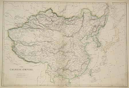
The Chinese Empire
Out of stock
This map was made by W. G Blackie, an English mapmaker in 1860 for The Imperial Atlas of Modern Geography; An Extensive Series of Maps. China is illustrated on this wonderfully detailed, original hand outlined colored map. It is very rare to find a map of just China.
Size: 19 x 14 inches
Condition: Very Good
Map Maker: W.G Blackie
Coloring: Original Hand Colored Outlining
Year: 1860
Condition: Very Good
Map Maker: W.G Blackie
Coloring: Original Hand Colored Outlining
Year: 1860
Out of stock


