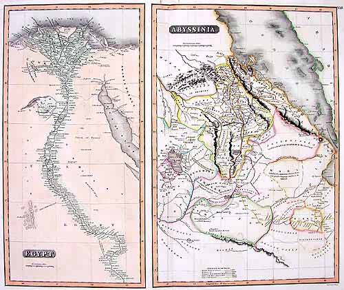
Egypt and Abyssinia
In stock
These hand colored maps of Egypt and Abyssinia were made for Thomsons “New General Atlas” in 1815. Regions are distinguished by remarkably well-maintained pastel color. Details include cities, rivers, important regions, and topography. This double-paged map is a fine example of Thomson’s work. This map is in very good condition. There are 2 small stains on right and left side inside map.
Size: 23.5 x 19.5 inches
Condition: Very Good
Map Maker: John Thomson
Coloring: Outline Hand Color
Year: 1815
Condition: Very Good
Map Maker: John Thomson
Coloring: Outline Hand Color
Year: 1815
In stock


