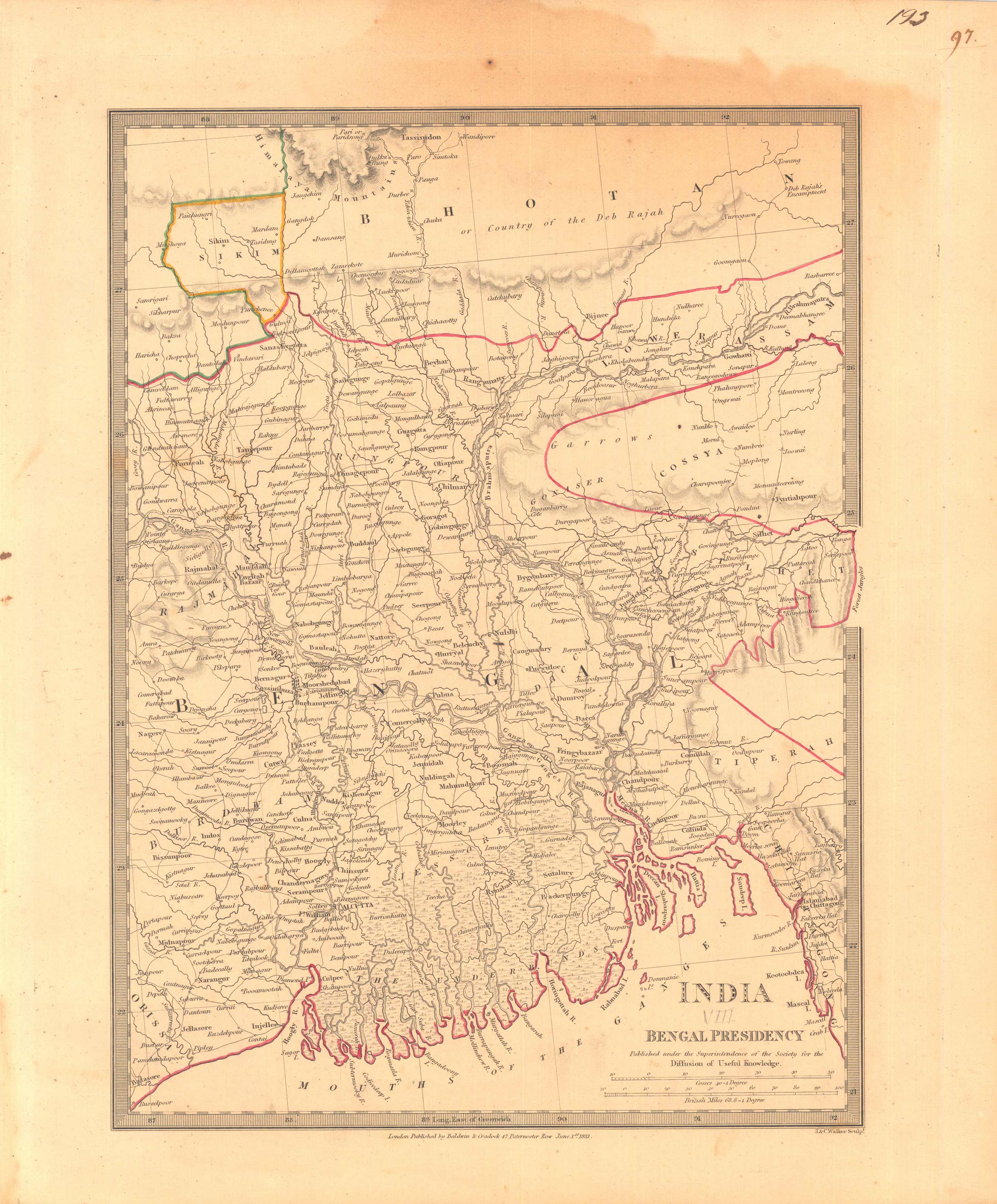
India Bengal Presidency
Out of stock
This finely detailed map was published in 1831 by the Society for the Diffusion of Useful Knowledge, a British philanthropical group. Cities, towns, regions, rivers and mountain ranges are illustrated. Copper plate engraved with original hand outline coloring.
Size: 12.5 x 15.5 inches
Condition: Very Good
Map Maker: The Society of the Diffusion of Useful Knowledge
Coloring: Original Hand Outline Color
Year: 1831
Condition: Very Good
Map Maker: The Society of the Diffusion of Useful Knowledge
Coloring: Original Hand Outline Color
Year: 1831
Out of stock


