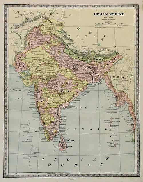
Indian Empire
In stock
George F. Cram produced this map for Crams Unrivaled Family Atlas of the World, published in 1885. This map of the Indian Empire illustrates regions, cities, towns, rail roads, and some topographical features as well as neighboring countries such as Nepal, Bhutan and Bangladesh. Great detailing, with nice pastel coloring.
Size: 9 x 12 inches
Condition: Very Good
Map Maker: George F. Cram
Coloring: Machine Coloring
Year: 1885
Condition: Very Good
Map Maker: George F. Cram
Coloring: Machine Coloring
Year: 1885
In stock


