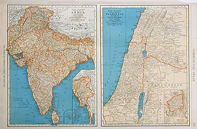
Popular Map of India, Popular Map of Palestine
Out of stock
The 1936, sixty-seventh edition of the “Rand McNally Commercial Atlas and Marketing Guide” is unique in its inclusion of informative details. Each map is brightly colored; predominantly in orange and tan with blue oceans, lakes and rivers. India and, on a seperate map, Palestine are illustrated on this page. An inset on the map of India shows Burma. The inset on the map of Palestine shows Jerusalem. The names of regions, states, important towns, lakes, rivers and major geological features are labeled.
Size: 19 x 12.5 inches
Condition: Very Good-age toning, corner of margin torn
Map Maker: Rand McNally & Co.
Coloring: Machine Color
Year: 1936
Condition: Very Good-age toning, corner of margin torn
Map Maker: Rand McNally & Co.
Coloring: Machine Color
Year: 1936
Out of stock


