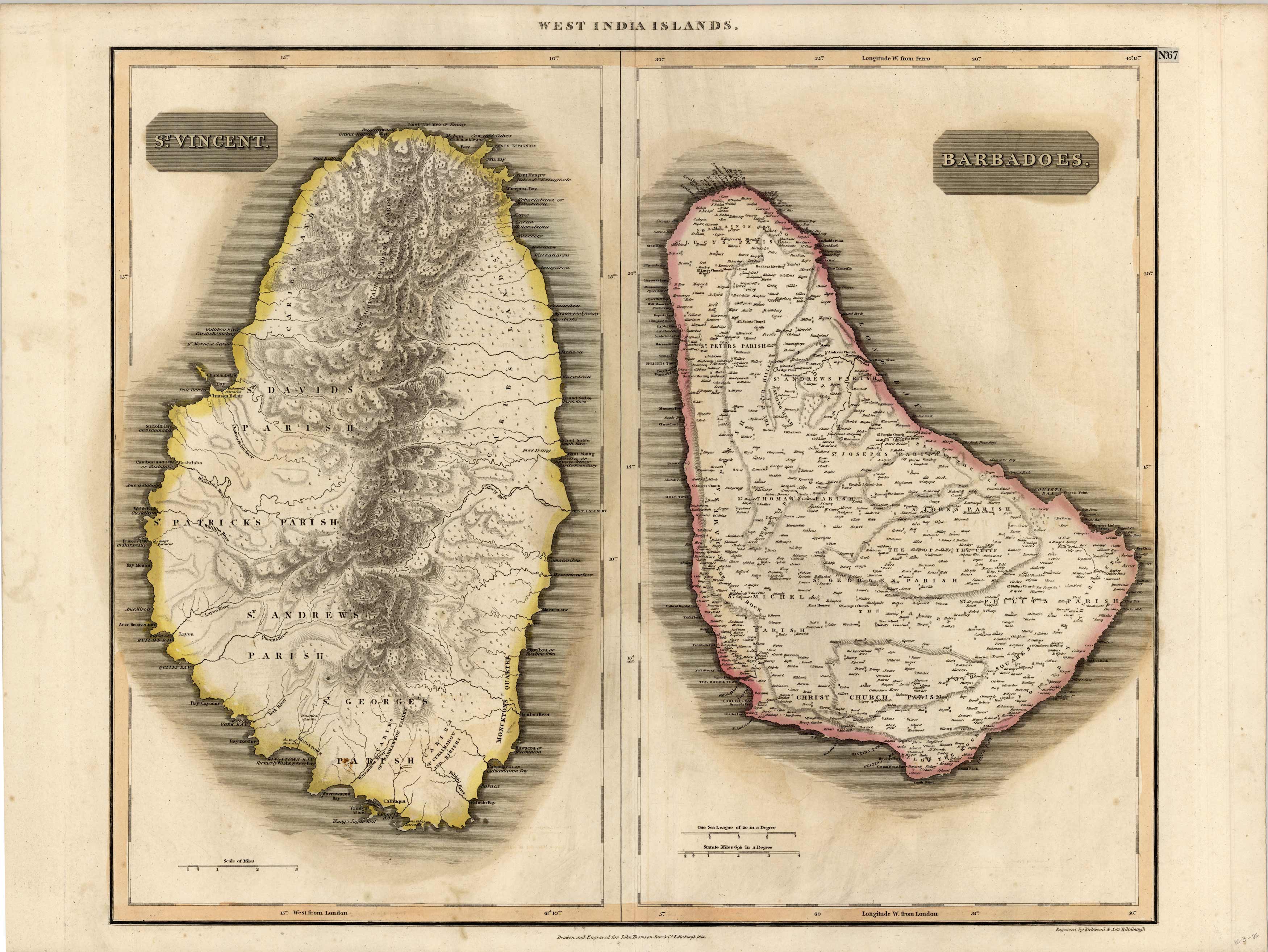
West India Islands – St.Vincent, Barbadoes
In stock
This map of islands in the West Indies was made by Thomson in 1814. St.Vincent and Barbadoes are shown on this map. Details include the names of islands and important cities, rivers, and lakes.
Size: 23.5 x 19.75 inches
Condition: Very Good-age toning, light off-setting
Map Maker: Thomson
Coloring: Original Hand Color
Year: 1814
Condition: Very Good-age toning, light off-setting
Map Maker: Thomson
Coloring: Original Hand Color
Year: 1814
In stock


