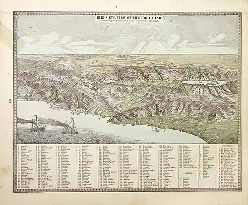
Birds-Eye View of the Holy Land
In stock
This view was made by George F. Cram in 1883 for “Crams Unrivaled Family Atlas”. A view of the Holy Land is illustrated on this map. Cities, rivers and towns are identified by numbers that correspond to a key at the bottom of the page.
Size: 12 x 10 inches
Condition: Very Good, Small Tear
Map Maker: George F. Cram
Coloring: Lithographic Color
Year: 1883
Condition: Very Good, Small Tear
Map Maker: George F. Cram
Coloring: Lithographic Color
Year: 1883
In stock


