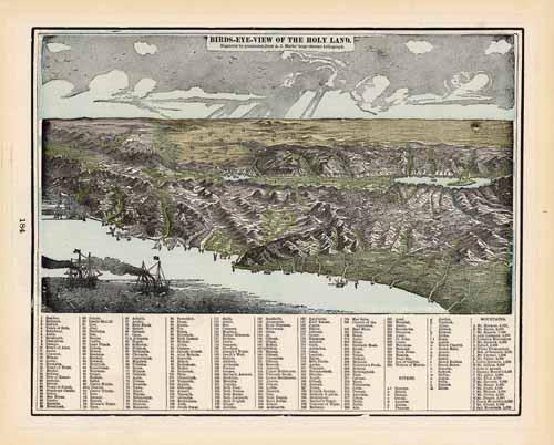
Birds-Eye-View of the Holy Land
In stock
This colorful map came from Crams 1898 “Universal Atlas – Geographical, Astronomical and Historical.” In 1869 the George F. Cram Company was established and the Cram name quickly became synonymous with accuracy and innovation. An areal view of the Holy Land is illustrated on this map. Cities, rivers and towns are identified by numbers that correspond to a key at the bottom of the page. This map would be a wonderful addition to any collection or a gift to remember.
Size: 12 x 9.75 inches
Condition: Very Good
Map Maker: George F. Cram
Coloring: Printed Color
Year: 1898
Condition: Very Good
Map Maker: George F. Cram
Coloring: Printed Color
Year: 1898
In stock


