Geographie Sacree
In stock
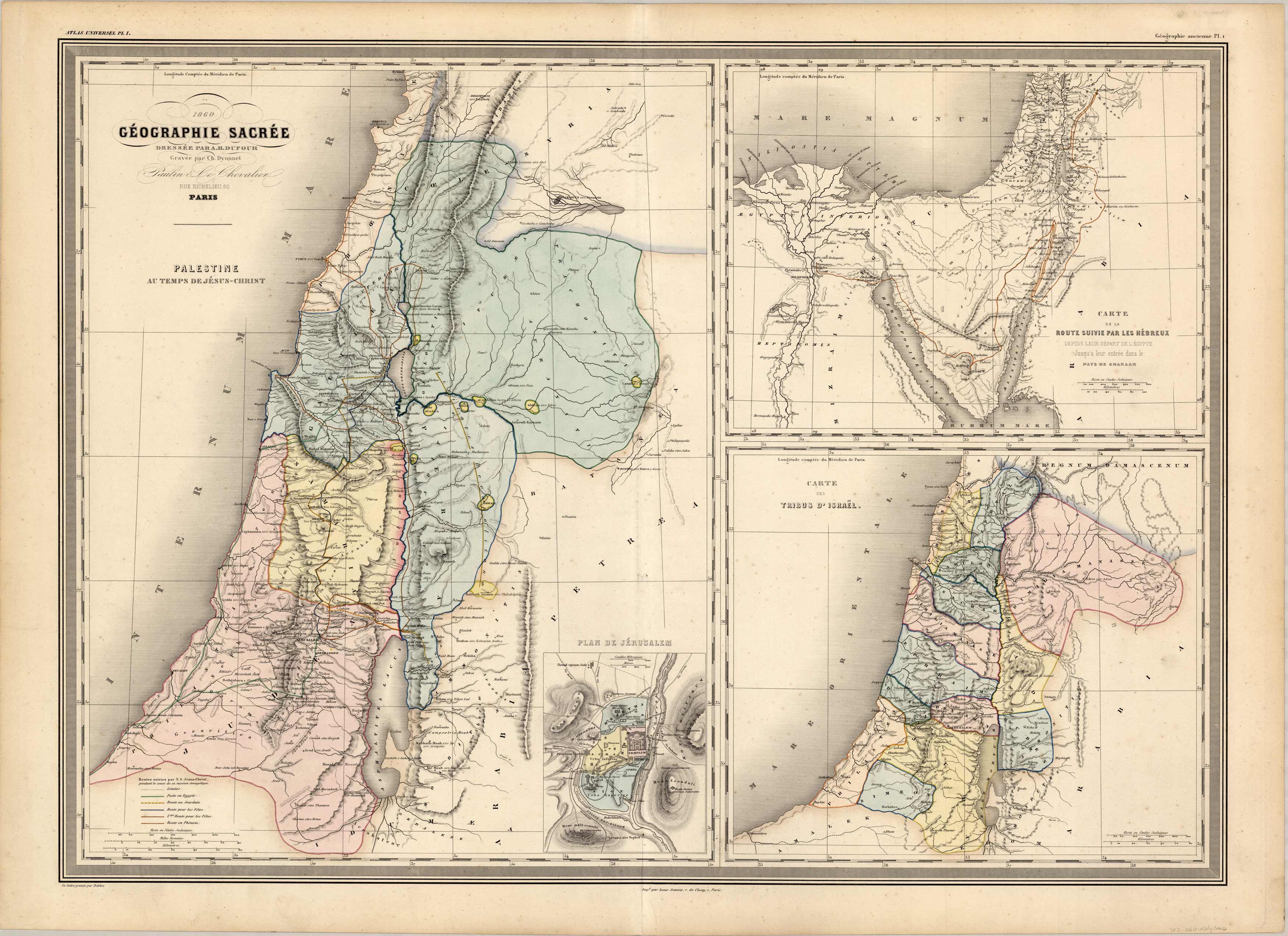
Plate consists of three maps: Palestine in the time of Jesus Christ, the route taken by the Israelites out of Egypt, and the Tribes of Israel. Inset map of Jerusalem. Beautiful topographic detail, good coloring.
Size: 29.5 x 21.5 inches
Condition: Very Good: age toning in margins
Map Maker: A.H. Dufour, Grand Atlas Universel
Coloring: Original hand color
Year: 1860
Condition: Very Good: age toning in margins
Map Maker: A.H. Dufour, Grand Atlas Universel
Coloring: Original hand color
Year: 1860
In stock


