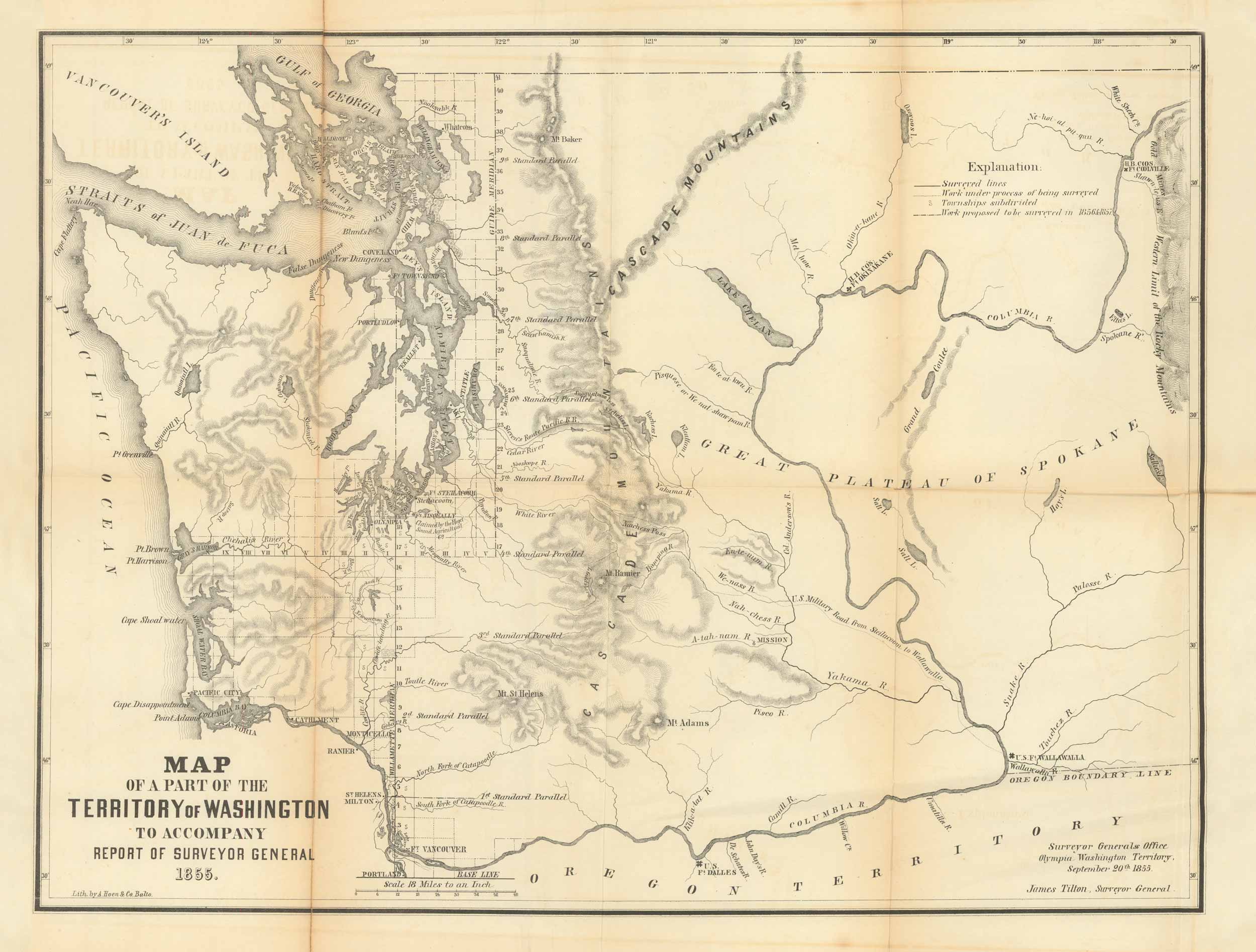
1855 Map of a part of the Territory of Washington to Accompany Report of Surveyor General
In stock
This 1855 map of Iowa done by the General Land Office, shows a part of the Territory of Washington to Accompany Report of Surveyor General. The General Land Office was an independent agency of the United States government responsible for the public domain lands of the U.S. Established in 1812, the GLO oversaw the surveying, platting, and sale of the public lands in the Western United States. By the early 20th century, the General Land Office shifted from its primary function of land sales to issuing leases and collecting grazing fees for livestock raised on public lands. The GLO eventually merged with the United States Grazing Service to become the Bureau of Land Management in 1946. GLO Maps like this one are very difficult to find in acceptable condition due to the poor paper used by the Government.
Condition: Good- some tearing along folds
Map Maker: General Land Office
Year: 1855
In stock


