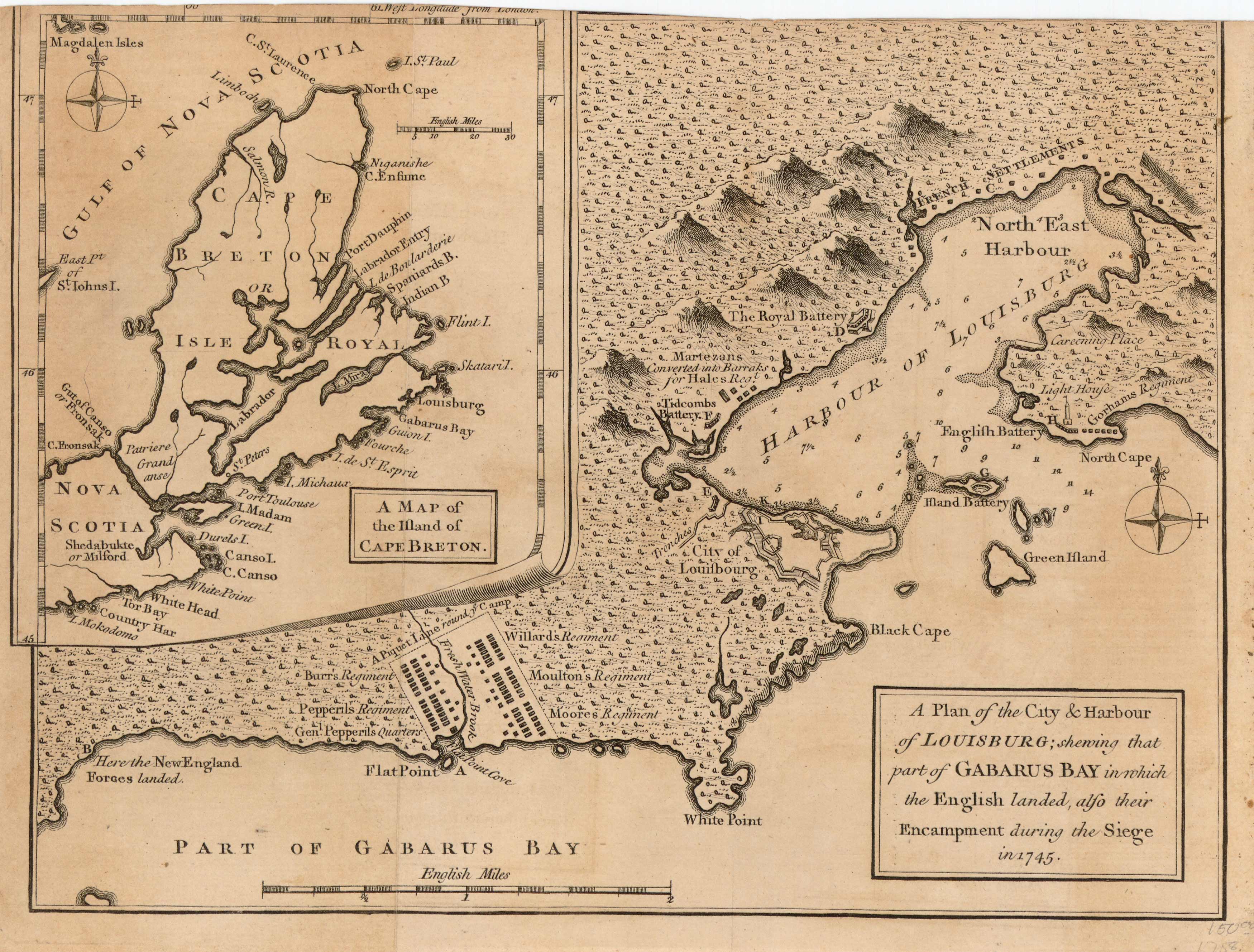
A Plan of the City and Harbour of Louisburg / A Map of the Ifland of Cape Breton
In stock
“A Plan of the City and Harbour of Louisburg; showing that part of Gabarus Bay in which the English landed, alfo their Encampment during the Siege in 1745” / Inset map shows “A Map of the Ifland of Cape Breton”.
Size: 10.5 x 8 inches
Condition: Very Good
Map Maker: Gentlemans Magazine'
Coloring: Black & White
Year: 1758
Condition: Very Good
Map Maker: Gentlemans Magazine'
Coloring: Black & White
Year: 1758
In stock


