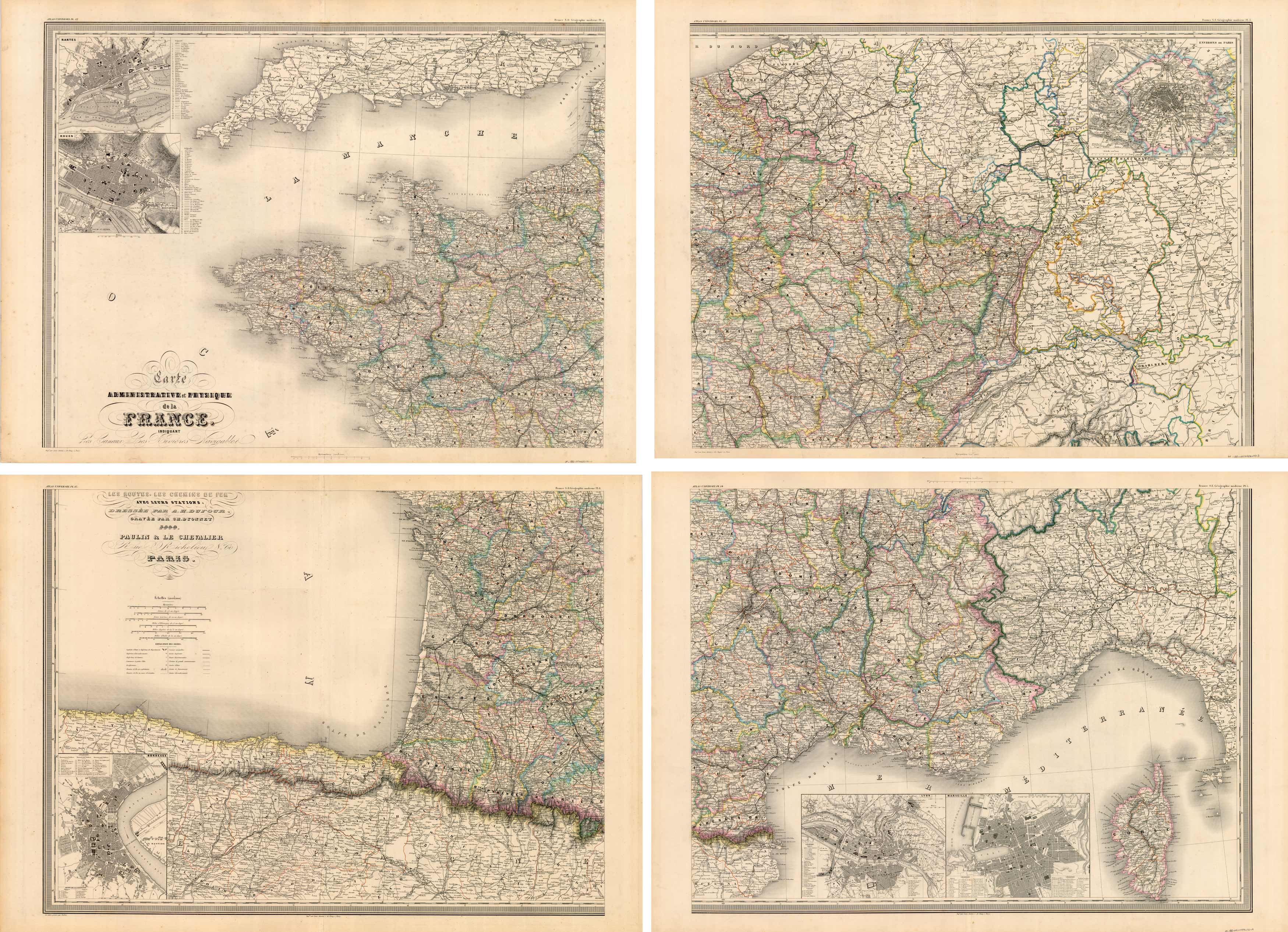
Administrative et Physique de la France Indiquant
In stock
Exceptionally large, detailed steel plate set of four (4) maps of France showing railroad system. Rivers but no topographic detail. Attractive coloring. Each map measures 21.5 x 29.5 inches.
Size: 29.5 x 21.5 inches
Condition: Very Good: age toning, spotting in margins
Map Maker: A.H. Dufour, Grand Atlas Universel
Coloring: Original hand color
Year: 1860
Condition: Very Good: age toning, spotting in margins
Map Maker: A.H. Dufour, Grand Atlas Universel
Coloring: Original hand color
Year: 1860
In stock


