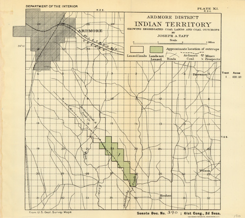
Ardmore District – Indian Territory – Showing Segregated Coal Lands and Coal Outcrops
In stock
This 1910 Joseph A. Taff map from the Department of Interior shows “Segregated Coal Lands and Coal Outcrops”. Also indicated are roads, leased lands, lands not leased, mines, prospects, and approximate locations of outcrops.
Size: 9.5 x 9 inches
Condition: Very Good - Paper separation and creasing along folds
Map Maker: Joseph A. Taff, Department of Interior
Coloring: Printed Color
Year: 1910
Condition: Very Good - Paper separation and creasing along folds
Map Maker: Joseph A. Taff, Department of Interior
Coloring: Printed Color
Year: 1910
In stock


