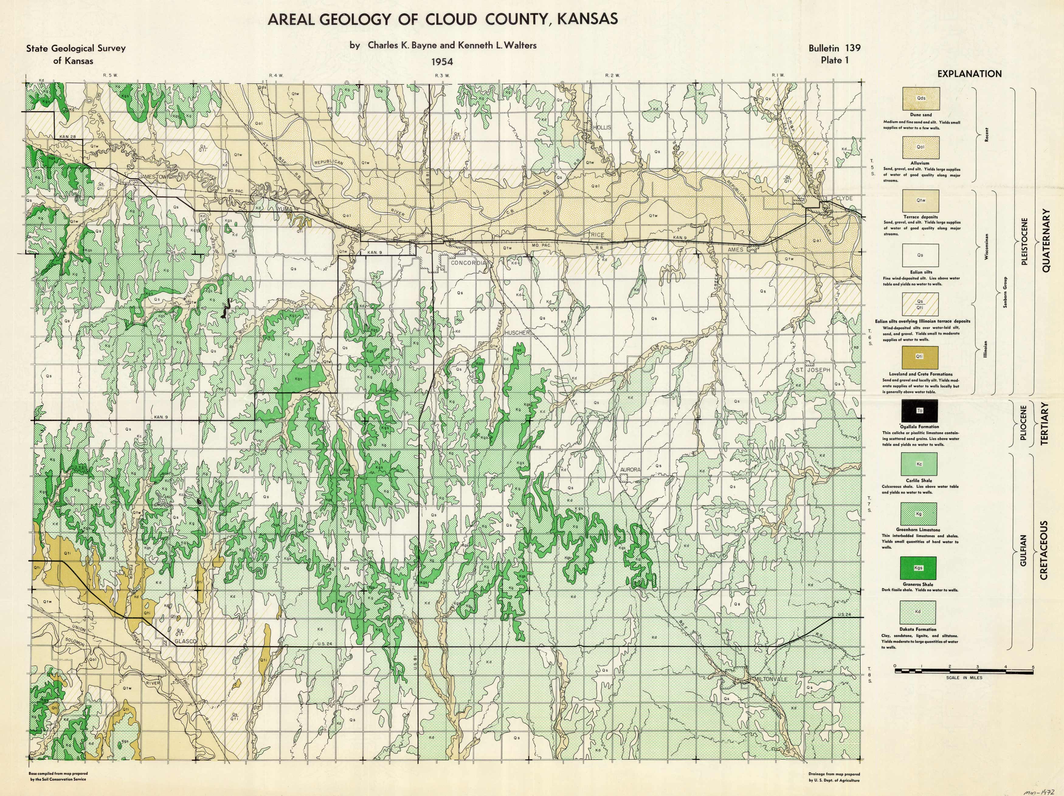
Areal Geology of Cloud County, Kansas
In stock
This map of the areal geology of Cloud County, Kansas was produced in 1954 by the State Geological Survey of Kansas. The base map was compiled by the Soil Conservation Service and the drainage map was prepared by the U.S. Dept. of Agriculture.
Size: 27.5 x 21 inches
Condition: Very Good
Map Maker: Charles K. Bayne and Kenneth L. Walters
Coloring: Printed Color
Year: 1954
Condition: Very Good
Map Maker: Charles K. Bayne and Kenneth L. Walters
Coloring: Printed Color
Year: 1954
In stock


