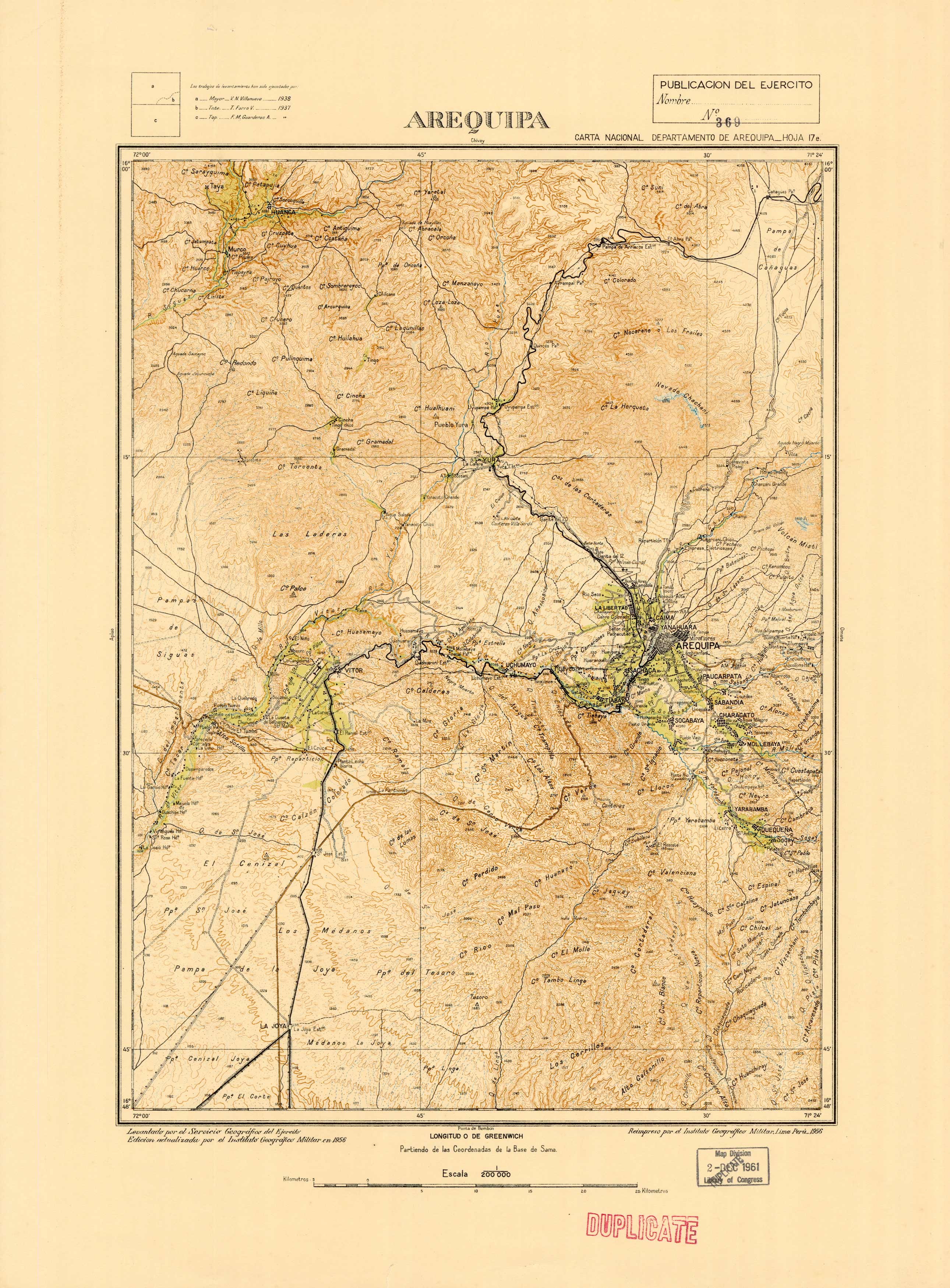
Arequipa, Peru
In stock
This detailed and colorful map of Arequipa and the Arequipa Region in southern Peru. The city of Arequipa lies in the Andes mountains, at an altitude of 2,380 meters (7740 feet) above sea level, overseen by the snow-capped volcano El Misti. The historic center of Arequipa was named a UNESCO world heritage site in 2000, in recognition of its architecture and historic integrity. This map was printed in 1956 by the Army Geographical Service of Peru. Survey work had been executed in 1937-8. This map would be a wonderful addition to any collection.
Size: 13.5 x 20.5 inches
Condition: Very Good
Map Maker: Army Geographical Service (Peru)
Coloring: Printed Color
Year: 1961
Condition: Very Good
Map Maker: Army Geographical Service (Peru)
Coloring: Printed Color
Year: 1961
In stock


