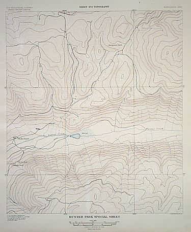
Aspen–Hunter Park Special XVI, Topography
In stock
Topographic map of the Hunter Park area near Aspen, Colorado. Shows Koch’s Ranch, mine shafts, local roads.
Size: 15.5 x 19 inches
Condition: Very Good: some tears in margin only
Map Maker: U.S. Geological Survey
Coloring: Lithographed color: brown and blue
Year: 1898
Condition: Very Good: some tears in margin only
Map Maker: U.S. Geological Survey
Coloring: Lithographed color: brown and blue
Year: 1898
In stock


