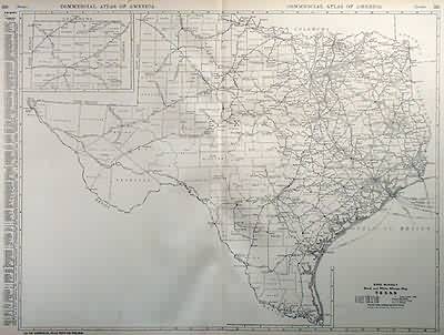
Black and White Mileage Map of Texas
Out of stock
Rand McNally made this “Commercial Atlas of America” in 1920. The distances between towns in Texas are provided on this large map. An inset shows the northernnmost portion of Texas at the same scale as the main map. Counties, cities, towns, train stations, railroad lines and major roads are identified. The populations of principal cities are provided in the margin.
Size: 25 x 19 inches
Map Maker: Rand McNally
Coloring: Black and White
Year: 1920
Map Maker: Rand McNally
Coloring: Black and White
Year: 1920
Out of stock


