Boston
In stock
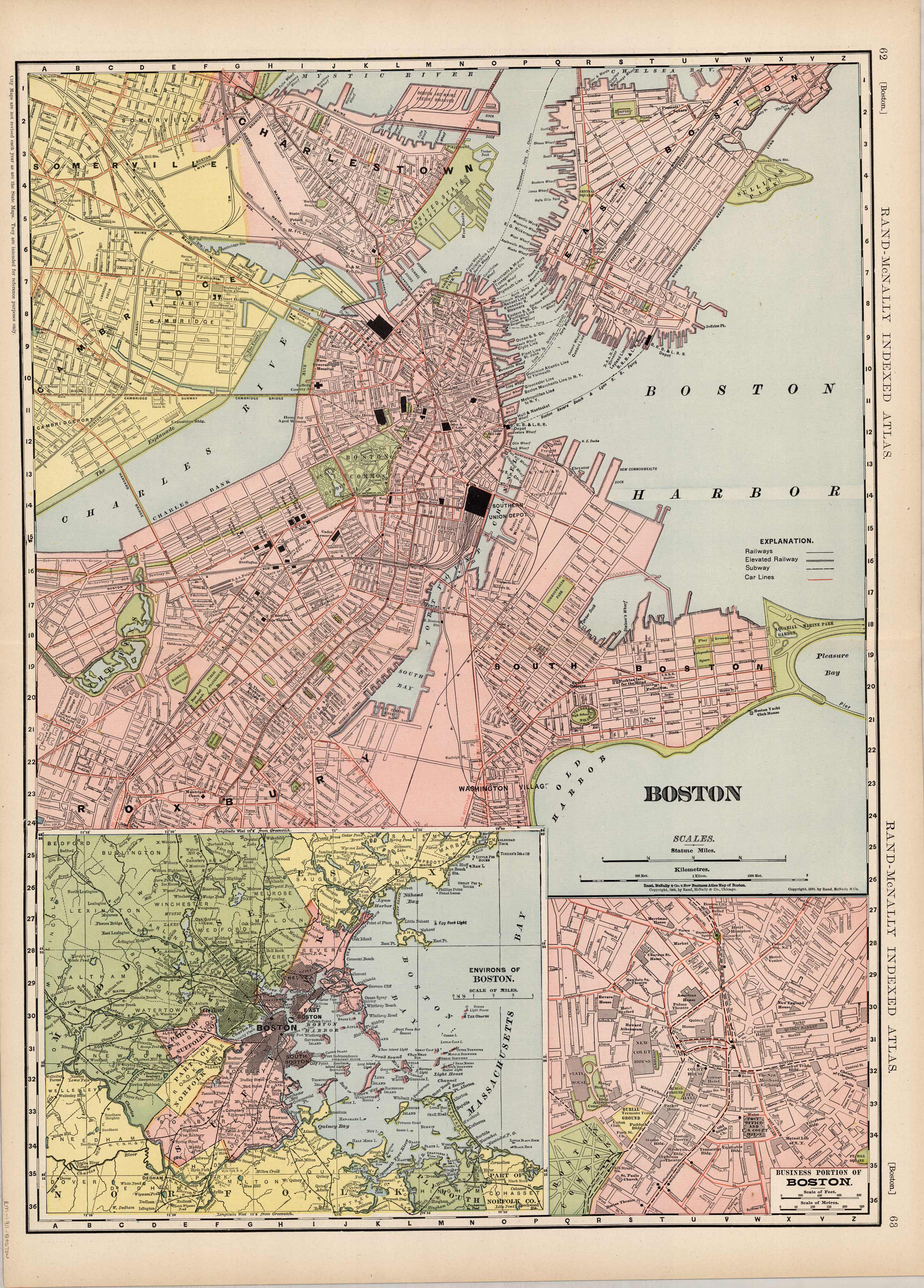
This large scale map came from Rand McNallys Commercial Atlas of America. The Rand McNally Atlas was unusual for its time because it was designed to be used by merchants and shippers, therefore this map is exceptionally detailed. Also included in this map of the Boston Harbor area are inset maps of the Environs of Boston and a closeup of the downtown business area of Boston.
Size: 19 x 26 inches
Condition: Very Good
Map Maker: Rand McNally & Co.s'
Coloring: Printed Color
Year: 1911
Condition: Very Good
Map Maker: Rand McNally & Co.s'
Coloring: Printed Color
Year: 1911
In stock


