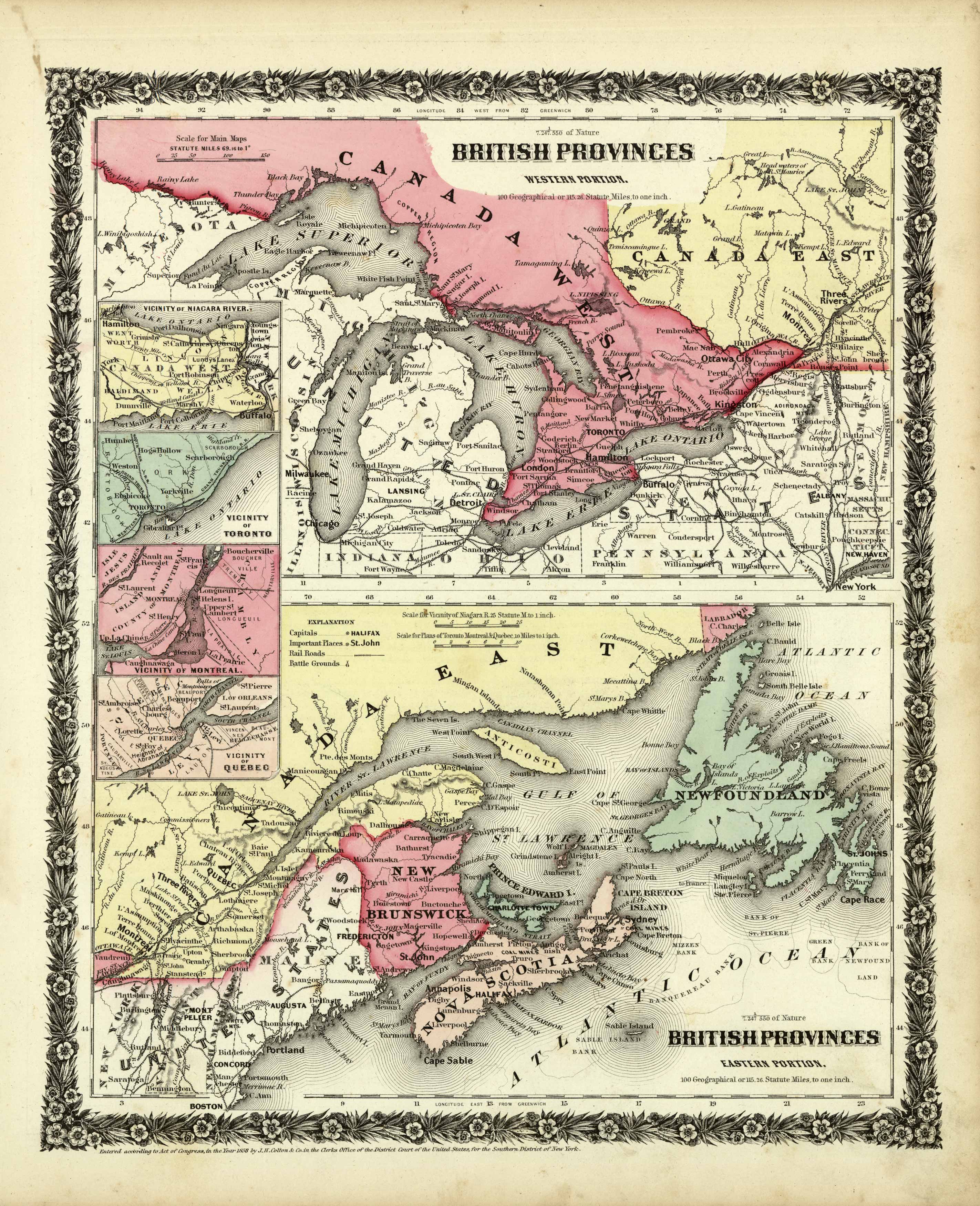
British Provinces (Western Portion) / British Provinces (Eastern Portion)
In stock
We are pleased to offer this rare map published by Joseph Hutchins Colton as part of his much sought after Illustrated Cabinet Atlas, published in 1859. This atlas was a departure from Coltons prior published atlases. The maps in this atlas were smaller in size, better engraved, and printed on finer paper. This is an opportunity to own a rare J.H. Colton map.
Size: 10.5 x 13 inches
In stock


