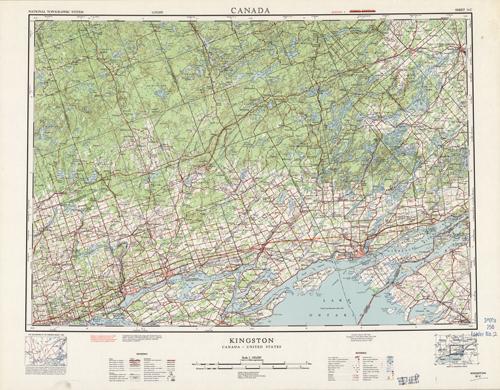
Kingston, Canada-United States
In stock
Compiled from information from the Army Survey, Canada, and the United States Geological Survey in 1958, this is the 4th edition printing, done in 1963. There is red overprint indicating the reprinted corrections or additions from the original printing. This topographic map indicates wooded areas, marshes or swamps, eskers, streams, and lakes. Other indications may include roads, trails, mines, and survey monuments. This map of Kingston, with part of Canada and the United States includes hard surface roads, loose roads, wagon tracks, railways, and boundary lines. There is a library stamp and markings in margin.
Size: 25.75 x 18.25 inches
Condition: Very Good, light foxing
Map Maker: U.S. Geological Survey, Army Survey - Canada
Coloring: Printed Color
Year: 1963
Condition: Very Good, light foxing
Map Maker: U.S. Geological Survey, Army Survey - Canada
Coloring: Printed Color
Year: 1963
In stock


