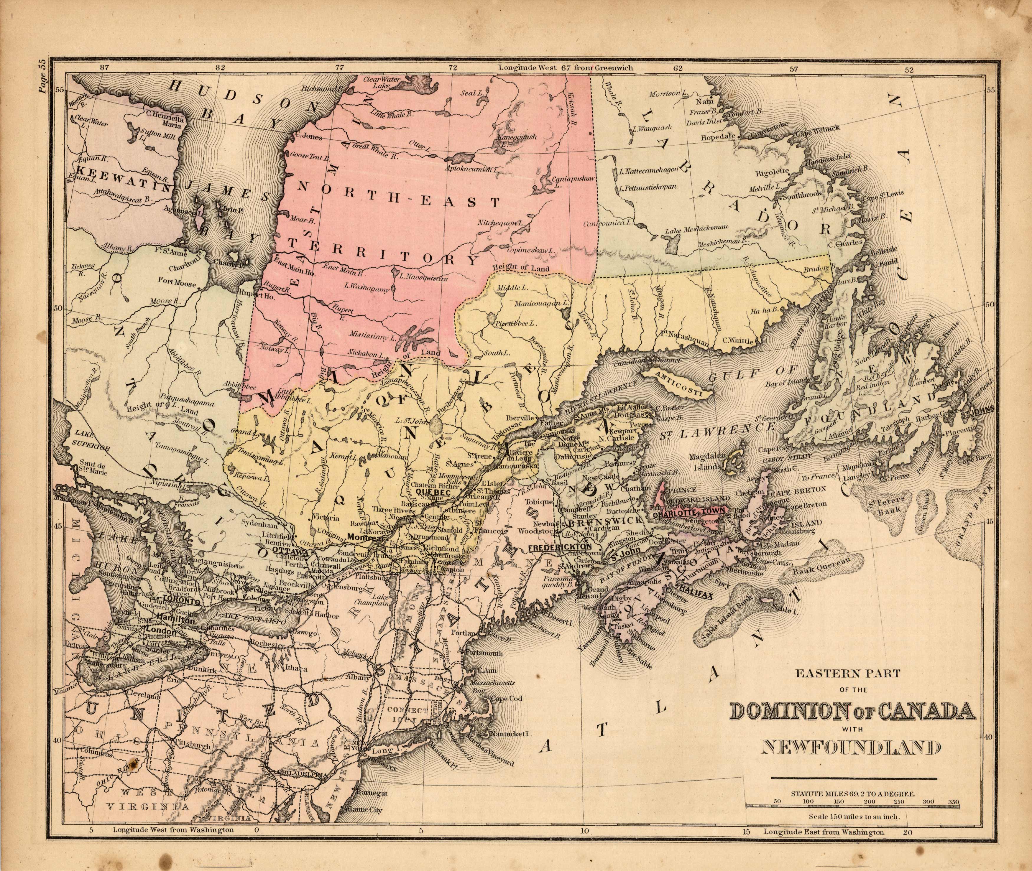
Map of the Eastern Part of Canada with Newfoundland
In stock
This map is from Warrens Common-School Geography, printed in 1887. Canada including Newfoundland is illustrated on this map. The concentration of cities around and especially south of the St. Lawrence River is very apparent on this map. Details include the names of important cities, provinces and regions,rail lines, major lakes, and rivers.
Size: 10.5 x 8.75 inches
Condition: Very Good
Map Maker: Warren
Coloring: Original Hand Coloring
Year: 1887
Condition: Very Good
Map Maker: Warren
Coloring: Original Hand Coloring
Year: 1887
In stock


