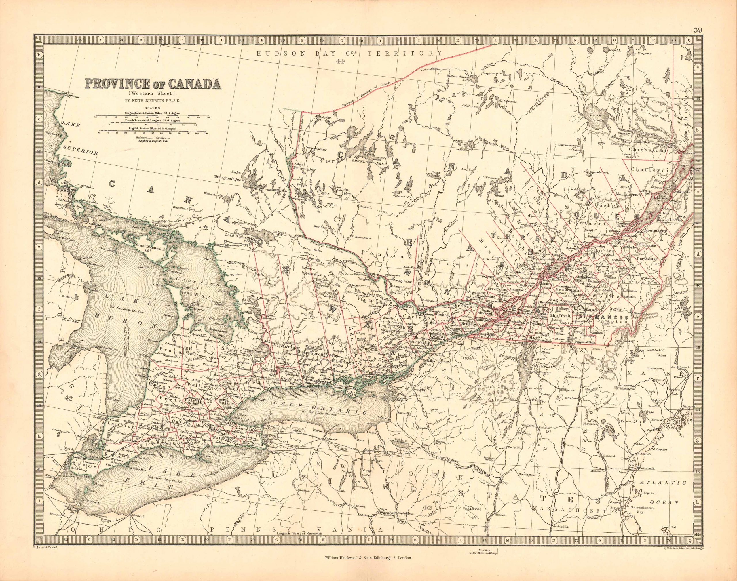
Province of Canada ( Western Sheet )
In stock
Alexander Keith Johnston took the title Geographer at Edinburgh to the Queen when he began map-making in Scotland in 1826. Johnston, famous for his attention to geographic detail, made this rare edition of the “Handy Royal Atlas of Modern Geography” in 1868. The Province of Canada ( Western Sheet )is illustrated on this hand colored map. Details include the names of regions, rivers, lakes, mountains, important cities and state borders. Each large scale map was printed on thick paper with vibrant color highlighting borders.
Size: 16.75 x 12.75 inches
In stock


