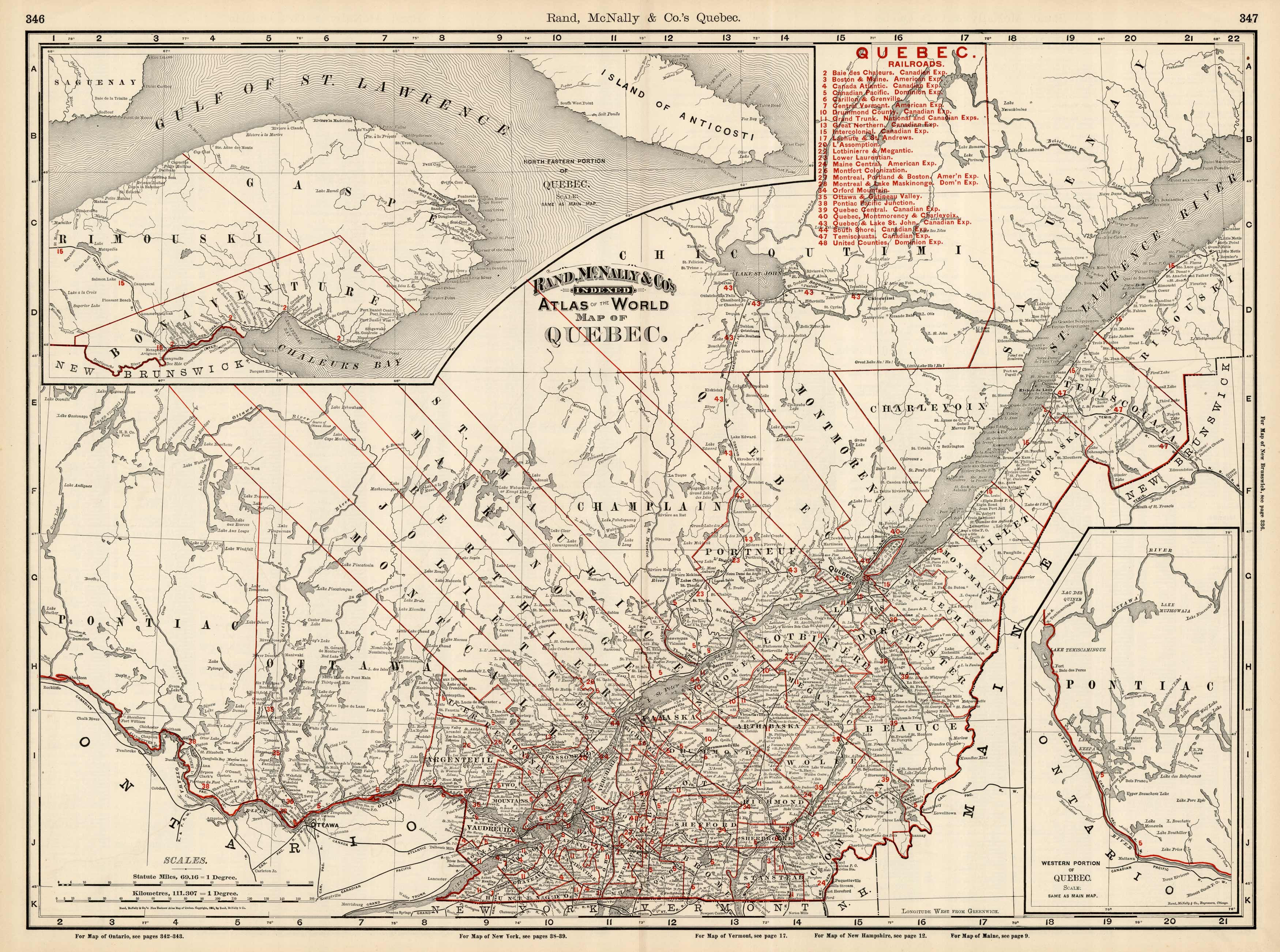
Quebec, Canada
In stock
This map is from the 1895 “Rand McNally & Co.s Enlarged Business Atlas and Shipper’s Guide, containing large scale maps of all states and territories in the United States, the Dominion of Canada, the Republic of Mexico, Central America, the West Indies, and Cuba, showing in detail the entire railroad system, the different railroads being distinguished by different figures, accompanied by a new and original compilation and ready reference index, giving the express company doing business over each road, and accurately locating all islands, lakes, rivers, mountains, counties, parishes, cities, towns, post offices, railroad stations, villages, etc, together with complete reference maps of all countries, printed from type-lettered plates, producing the clearest typographical effect of any known engraved plates, also guide maps showing the streets, transportation lines, and public buildings of the large cities in the United States”.
Condition: Very Good
Map Maker: Rand McNally & Co.
Coloring: Printed Color
Year: 1895
In stock


