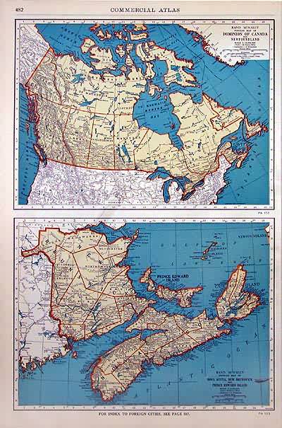
Rand McNally Popular Maps of Dominion of Canada and Nova Scotia, New Brunswick and Prince Edward Island
In stock
The sixty-seventh edition of the “Rand McNally Commercial Atlas and Marketing Guide,” published in 1936, is unique in its inclusion of informative details. Each map is brightly colored; predominantly in orange and tan with blue oceans, lakes and rivers. The Dominion of Canada, Nova Scotia, New Brunswick and Prince Edward Island are illustrated on these maps. The names of regions, states, important towns, lakes, rivers and major geological features are labeled.
Size: 19 x 12.5 inches
Condition: Very Good - age toning
Map Maker: Rand McNally
Coloring: Printed Color
Year: 1936
Condition: Very Good - age toning
Map Maker: Rand McNally
Coloring: Printed Color
Year: 1936
In stock


