Toronto (Canada)
In stock
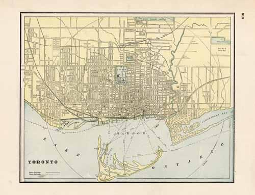
This map of Toronto was published by George F. Cram in 1894. Parks, cemeteries, important town buildings, streets and other main transportation routes such as steam railroads and horse railroads are illustrated.
Size: 12.5 x 9.5 inches
Condition: Very Good
Map Maker: George F. Cram
Coloring: Printed Color
Year: 1894
Condition: Very Good
Map Maker: George F. Cram
Coloring: Printed Color
Year: 1894
In stock


