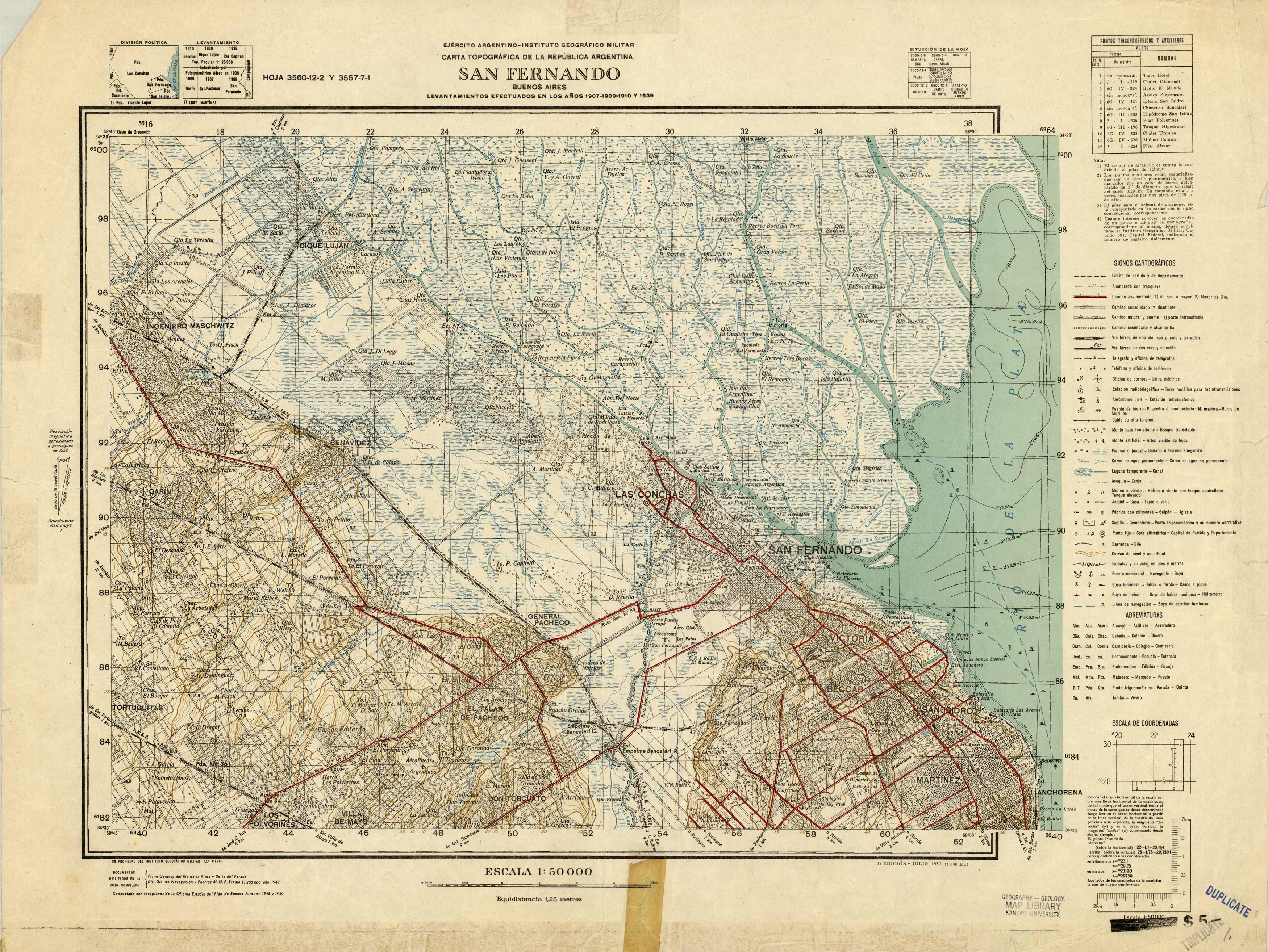
Carta Topografica De La Republica Argentina, San Fernando Buenos Aries
In stock
Written in Spanish, this topographic map of San Fernando, Buenos Aries was prepared by the Military Geographic Institute and the Office Plan Study of Buenos Aries in 1952. The map shows contour lines (lines of equal elevation) which depict natural features of the land. Details indicate roads, trails, railroads, highways, boundaries, marshes or swamps, wooded areas, lakes, and rivers.
Size: 25 x 18.5 inches
Condition: Good, age toning, old tape, multiple government and library stamps
Map Maker: Military Geographic Institute
Coloring: Printed Color
Year: 1952
Condition: Good, age toning, old tape, multiple government and library stamps
Map Maker: Military Geographic Institute
Coloring: Printed Color
Year: 1952
In stock


