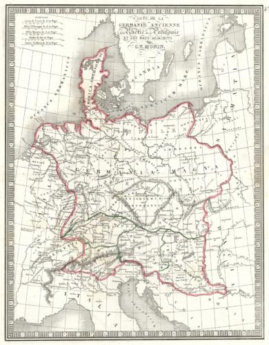
Carte de la Germanie Ancienne
In stock
This map was produced in 1848 by C.V. Monin as part of his “Atlas Classique.” The quality of this map is unsurpassed by other maps of this period.
Size: 11.5 x 14.25 inches
Condition: Excellent
Map Maker: C.V. Monin
Coloring: Hand-colored Engraving
Year: 1848
Condition: Excellent
Map Maker: C.V. Monin
Coloring: Hand-colored Engraving
Year: 1848
In stock


