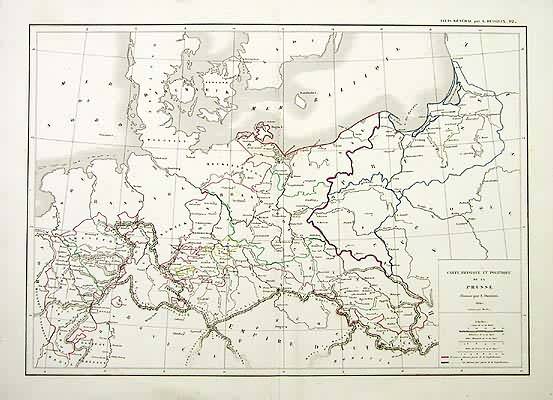
Carte Physique et Politique de la Prusse (Physical and Political Map of Prussia)
In stock
This map is from the “Atlas General,” published by Louis Etienne Dussieux in 1848. Details include names of lakes and rivers, cities and towns, regions, and topography. Accentuated with hand outline color these steel engraved maps show fine detail and would make an excellent addition to any collection.
Size: 15.25 x 10.75 inches
Condition: Very Good
Map Maker: Louis Etienne Dussieux
Coloring: Original Hand Outline Color
Year: 1848
Condition: Very Good
Map Maker: Louis Etienne Dussieux
Coloring: Original Hand Outline Color
Year: 1848
In stock


