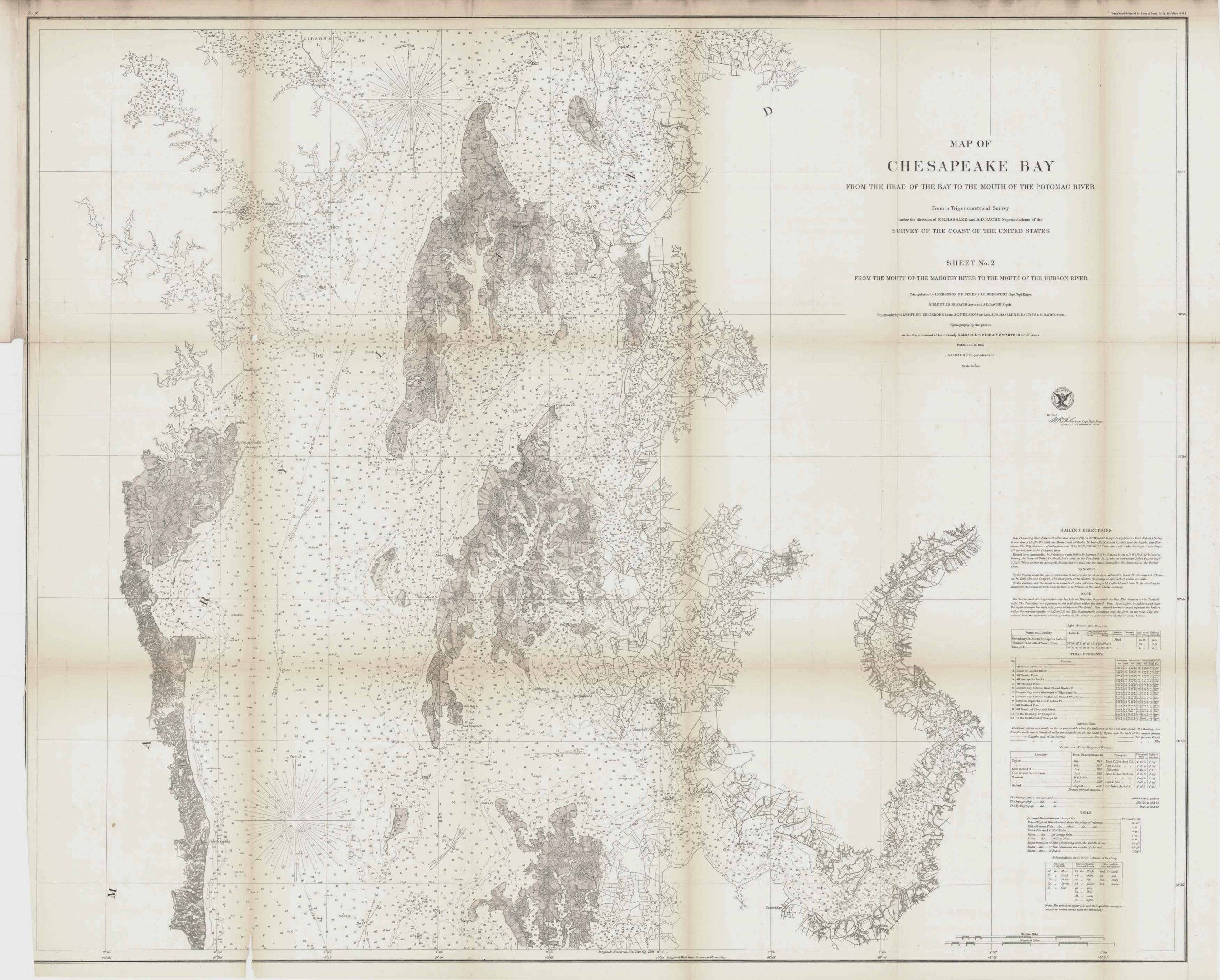
Chesapeake Bay; Head of the Bay to the Mouth of the Potomac River, 1857
In stock
This coastal survey of Chesapeake Bay was made in 1857 by the Coast Survey Office. The section of the coast from the Head of the Bay to the Mouth of the Potomac River is shown on this map. Details include depth readings and the names of cities and islands along the river. Notes on the map provide sailing instructions, and information on tides and currents.
Size: 36.5 x 30 inches
Condition: Good- age toning, light foxing, minor paper loss at folds
Map Maker: Coast Survey Office
Coloring: Black & White
Year: 1857
Condition: Good- age toning, light foxing, minor paper loss at folds
Map Maker: Coast Survey Office
Coloring: Black & White
Year: 1857
In stock


