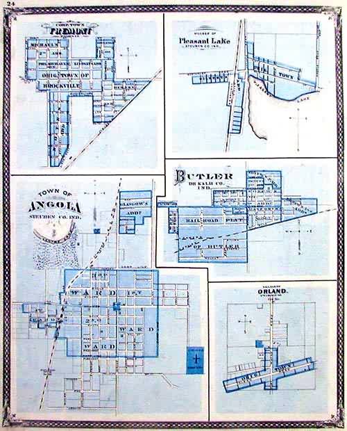
Angola, Fremont, Pleasant Lake, Butler, Orland (Indiana)
Out of stock
This detailed city map was originally published in the “Illustrated Historical Atlas of the State of Indiana.” With intricate detail showing us each block, and even some buildings, we get an unparalleled glimpse at Mid-western towns, 100 years into the nations development. Indiana at this time is bustling with growth, and there are numerous towns to prove it. Here we see towns that were usually neglected, here given clear and distinctive treatments to show layout and size. Streets are named, as well as local creeks and rivers. Each town map is titled in a handsome type, with its county listed as well. These maps are scarce and in very good condition. Great for reference or decoration.
Size: 13 x 16 inches
Condition: Very Good
Map Maker: Baskin & Forster
Coloring: Original Hand Coloring
Year: 1876
Condition: Very Good
Map Maker: Baskin & Forster
Coloring: Original Hand Coloring
Year: 1876
Out of stock


