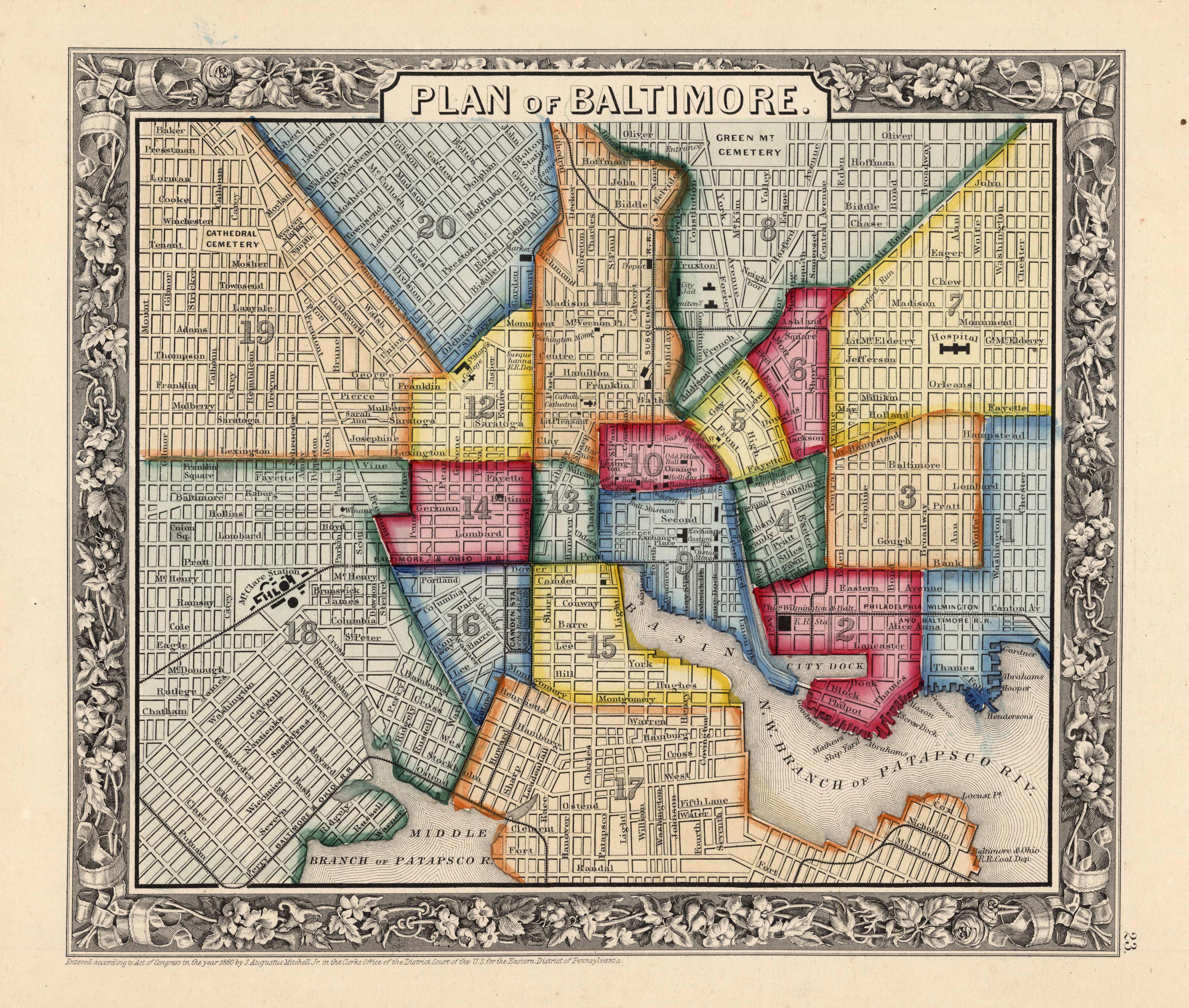
Plan of Baltimore
In stock
This beautiful map of Baltimore was made by S. Augustus Mitchell, in 1860, for his New General Atlas. This map features bright original hand coloring that differentiates parts of the city, a decorative floral border, and fine detailing (including street names and points of interest).
Size: 10.75 x 9.25 inches
Condition: Very Good-age toning, minor water stains in margins
Map Maker: S. Augustus Mitchell
Coloring: Original Hand Color
Year: 1860
Condition: Very Good-age toning, minor water stains in margins
Map Maker: S. Augustus Mitchell
Coloring: Original Hand Color
Year: 1860
In stock


