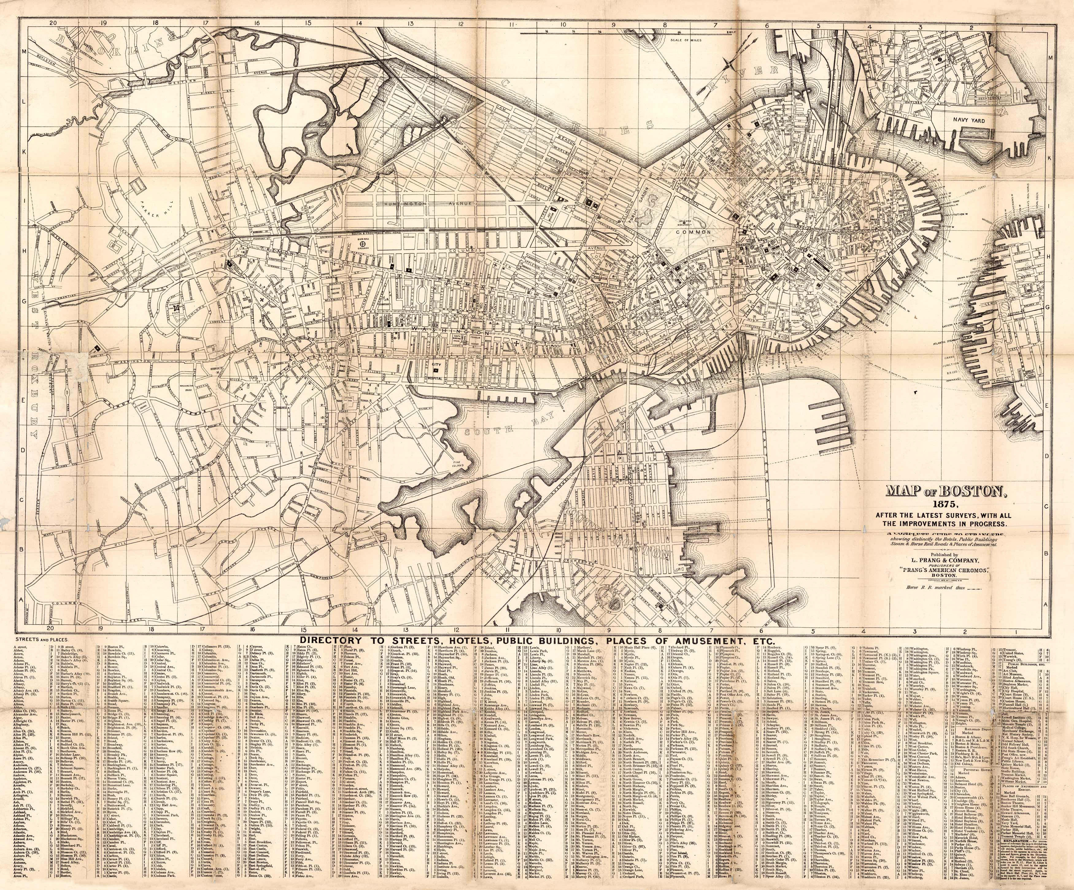
Map of Boston, 1875
Out of stock
This 1875 map of Boston identifies streets, bridges, the Navy Yard, ferry lines, hospitals, burying grounds, hotels, public buildings, baseball parks, theaters, museums, the Music Hall, the library, various markets, churches, and more! A directory of streets, hotels, public buildings, and places of amusement is at the bottom. This map extends as far west as Roxbury, as far south as south Boston, as far east as east Boston, and as far north as the Charles River. Parts of West Roxbury, Brookline, and Charlestown are also shown. An interesting and informative map into what was a drastically changing area in 1875!
Size: 25 x 15 inches
Condition: Very Good
Map Maker: L. Prang Company
Coloring: Black and White
Year: 1875
Condition: Very Good
Map Maker: L. Prang Company
Coloring: Black and White
Year: 1875
Out of stock


