Part of the Metropolitan District
In stock
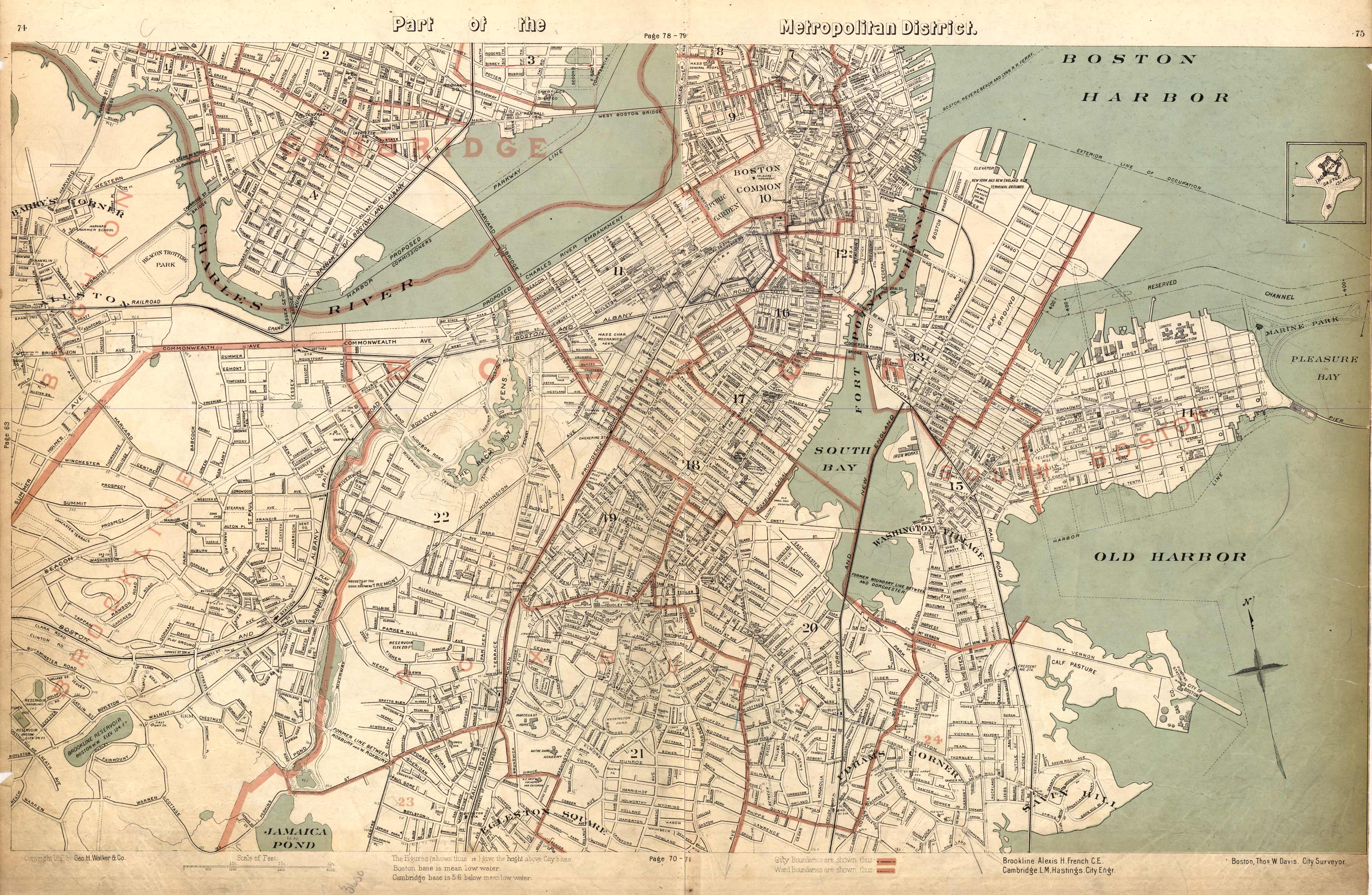
This 1891 map of Boston details streets, railroad lines, numerous bays, parks, government buildings, baseball grounds, schools, hospitals, churches, a police station, and reservoirs. City and ward boundaries are denoted through colored borders.
Size: 26 x 17.5 inches
Condition: Very Good
Map Maker: Geo H. Walker & CO.
Coloring: Printed Color
Year: 1891
Condition: Very Good
Map Maker: Geo H. Walker & CO.
Coloring: Printed Color
Year: 1891
In stock


