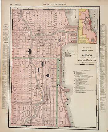
Map of the Central Portion of Chicago
In stock
This map came from Rand McNallys Universal Atlas printed in 1895. This is a detailed map of the central portion of Chicago, Illinois. Streets, rail lines, street transportation ,and city parks are shown. An inset is included showing the outline of the entire city.
Size: 12.5 x 9.25 inches
Condition: Very Good
Map Maker: Rand McNally
Coloring: Machine Color
Year: 1895
Condition: Very Good
Map Maker: Rand McNally
Coloring: Machine Color
Year: 1895
In stock


