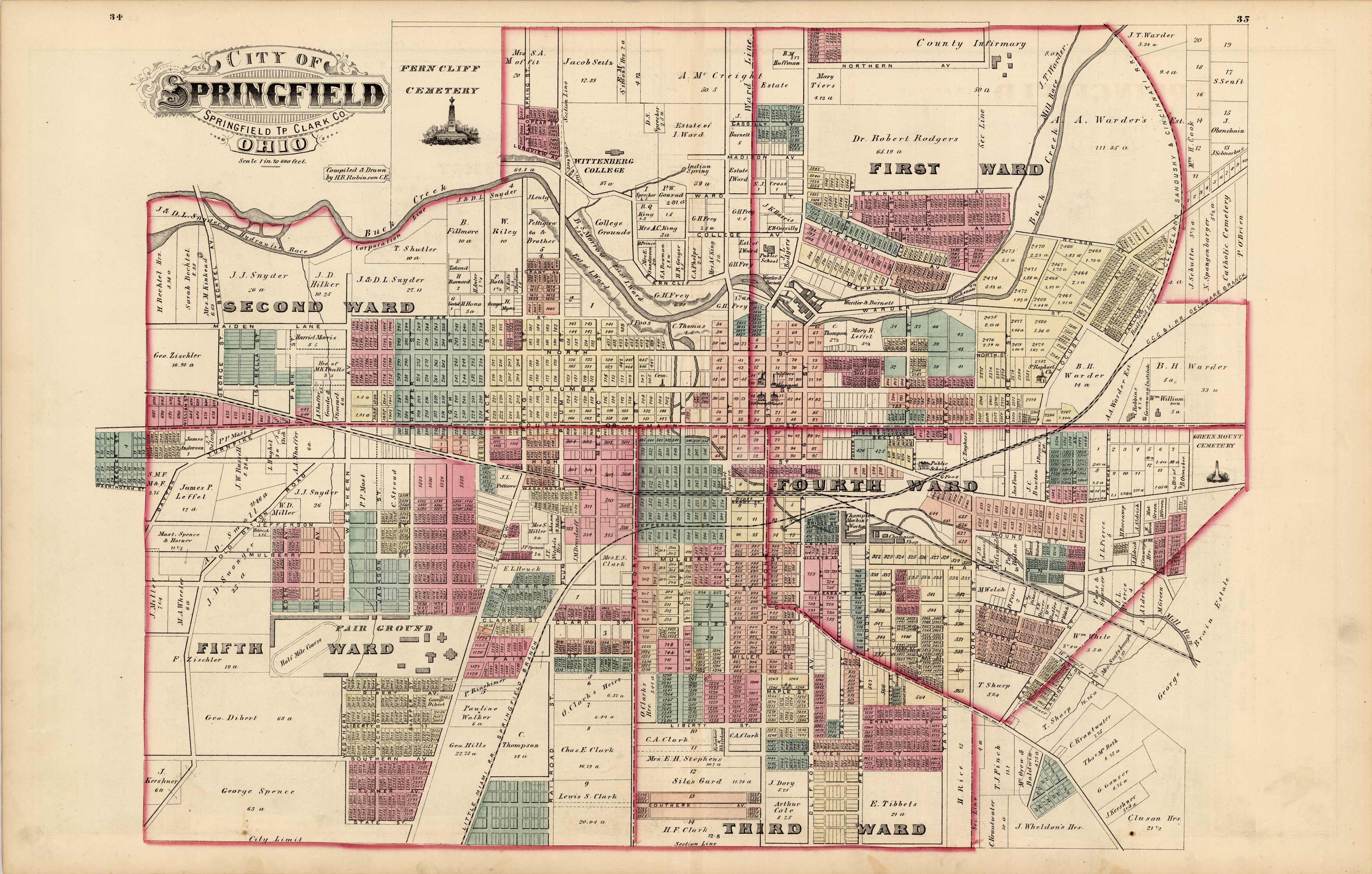
City of Springfield, Ohio
Out of stock
We are especially proud to offer this beautifully engraved, hand colored map, produced in 1875 by L.H. Everts and Company for the Illustrated Historical Atlas of Clarke County, Ohio. Everts is responsible for producing some of the finest county and state atlases of the central U.S. A rare find. This map of the city of Springfield is separated by wards and includes details of some city monuments, such as the Fair Grounds and cemetery.
Size: 22 x 16 inches
Condition: Very Good
Map Maker: L.H. Everts
Coloring: Original Hand Coloring
Year: 1875
Condition: Very Good
Map Maker: L.H. Everts
Coloring: Original Hand Coloring
Year: 1875
Out of stock


