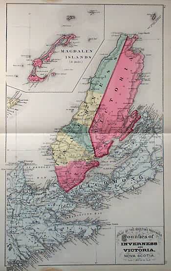
Counties of Inverness and Victoria, Nova Scotia
In stock
The “Atlas of the Maritime Provinces of the Dominion of Canada” was made “by a corps of competent engineers and draughtsman” and published in 1880 by Roe Brothers. The beautiful and unique hand colored maps show areas important to trade and travel in Canada. The names of counties, provinces, towns, railroads, rivers, lakes and other significant land-forms. The counties of Inverness and Victoria in Nova Scotia are illustrated on this brightly colored and very detailed map. An inset shows the Magdalen Islands at the same scale as the main map. The maps from the Maritime Atlas would frame nicely and make fantastic additions to the collections of those interested in maritime or local history. This map extends into the margin beside a water stain.
Condition: Very Good-age toning, water stain in margin, light foxing on map
Map Maker: Roe Brothers
Coloring: Original Hand Color
Year: 1880
In stock


