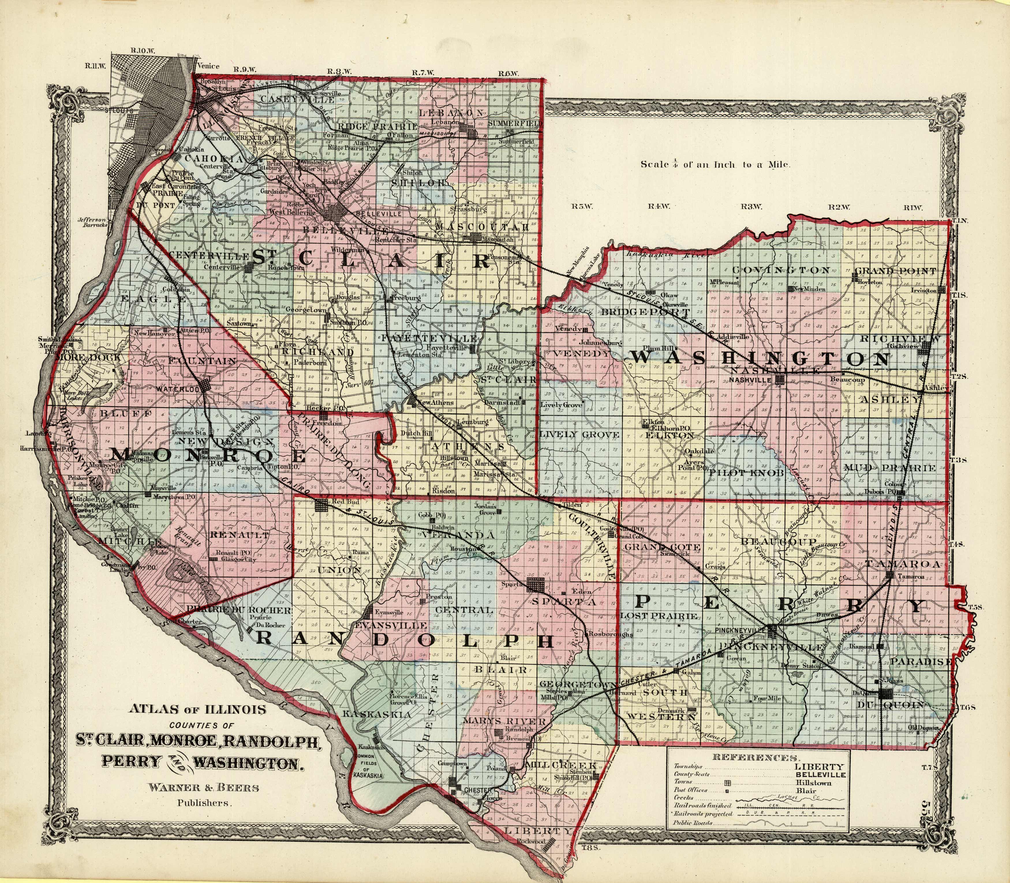
Counties of St. Clair, Monroe, Randolph, Perry, and Washington, Illinois
Out of stock
This detailed map/view is from the “Atlas of Lasalle Co. and the State of Illinois”, published in 1876 by Warner & Beers. This map/view gives a very interesting glimpse of Lasalle County and points beyond over 130 years ago.
Size: 15 x 17.5 inches
Condition: Very Good with some staining
Map Maker: Warner & Beers
Coloring: Original Hand Color
Year: 1876
Condition: Very Good with some staining
Map Maker: Warner & Beers
Coloring: Original Hand Color
Year: 1876
Out of stock


